South Newport River
Jump to navigation
Jump to search
| South Newport River | |
|---|---|
| Location | |
| Country | United States |
| State | Georgia |
| Physical characteristics | |
| Source | |
| • location | Georgia |
| Mouth | |
• coordinates | 31°33′17″N 81°11′40″W / 31.55467°N 81.19454°W |
• elevation | 0 ft (0 m) |
| Length | 42.6 mi (68.6 km) |
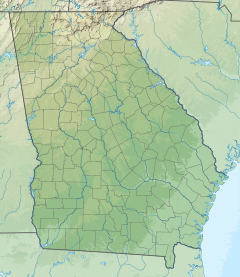
The South Newport River is a 42.6-mile-long (68.6 km)[1] river on the Atlantic coastal plain in the U.S. state of Georgia. It rises in Long County 3 miles (5 km) south of Walthourville and flows east-southeast, becoming the boundary between Liberty and McIntosh counties. It flows into Sapelo Sound, an arm of the Atlantic Ocean, south of St. Catherines Island.[2][3]
The river's name most likely is a transfer from Newport, Rhode Island.[4]
See also
References
- ^ U.S. Geological Survey. National Hydrography Dataset high-resolution flowline data. The National Map, accessed April 26, 2011
- ^ U.S. Geological Survey Geographic Names Information System: South Newport River
- ^ USGS Hydrologic Unit Map - State of Georgia (1974)
- ^ Krakow, Kenneth K. (1975). Georgia Place-Names: Their History and Origins (PDF). Macon, GA: Winship Press. p. 209. ISBN 0-915430-00-2.
