The Falls, Queensland
Jump to navigation
Jump to search
| The Falls Queensland | |||||||||||||||
|---|---|---|---|---|---|---|---|---|---|---|---|---|---|---|---|
 The Falls | |||||||||||||||
| Coordinates | 28°19′02″S 152°23′41″E / 28.3172°S 152.3947°E | ||||||||||||||
| Population | 51 (2021 census)[1] | ||||||||||||||
| • Density | 0.919/km2 (2.380/sq mi) | ||||||||||||||
| Postcode(s) | 4373 | ||||||||||||||
| Area | 55.5 km2 (21.4 sq mi) | ||||||||||||||
| Time zone | AEST (UTC+10:00) | ||||||||||||||
| Location | |||||||||||||||
| LGA(s) | Southern Downs Region | ||||||||||||||
| State electorate(s) | Southern Downs | ||||||||||||||
| Federal division(s) | Maranoa | ||||||||||||||
| |||||||||||||||
The Falls is a rural locality in the Southern Downs Region, Queensland, Australia.[2] In the 2021 census, The Falls had a population of 51 people.[1]
It borders New South Wales.[3]
History
The location presumably takes its name from the Queen Mary Falls on Spring Creek within the locality.[4]
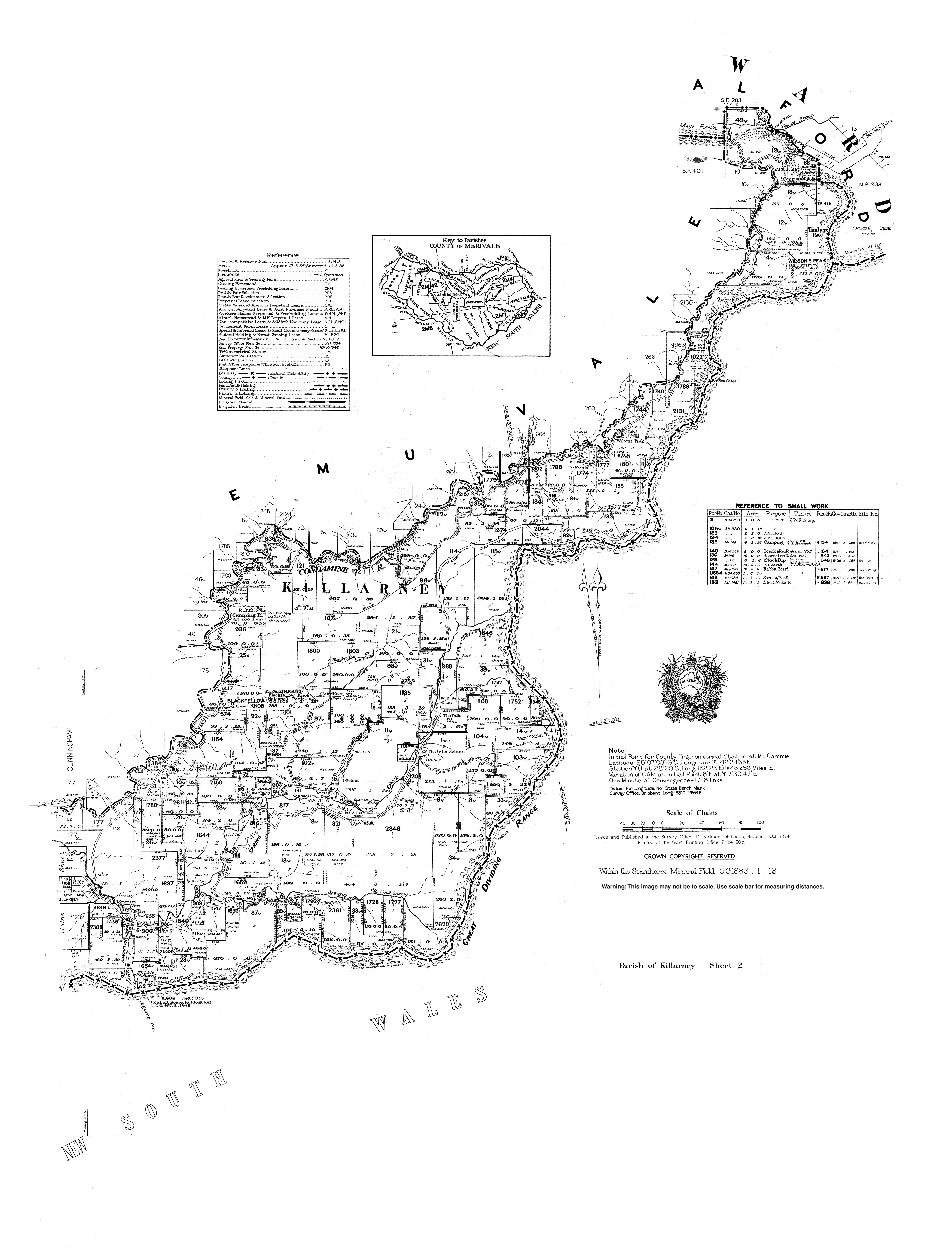
Ferndale Provisional School opened on 9 November 1948. In 1953 it became The Falls State School in 1953. The school closed on 26 August 1974.[5] The school was located at 902 Spring Creek Road (28°19′53″S 152°23′19″E / 28.3315°S 152.3885°E).[6][3]
Demographics
In the 2016 census, The Falls had a population of 70 people.[7]
In the 2021 census, The Falls had a population of 51 people.[1]
Attractions
There are a number of attractions in the locality:
- Queen Mary Falls Lookout in the Main Range National Park, opposite 676 Spring Creek Road (28°20′23″S 152°22′24″E / 28.3396°S 152.3733°E)[8][9]
- Carrs Lookout, 1503 Spring Creek Road (28°17′35″S 152°24′58″E / 28.2931°S 152.4160°E)[8][10]
- Moss Gardens, Spring Creek Road about 2 kilometres (1.2 mi) after Carrs Lookout (28°17′38″S 152°26′36″E / 28.2940°S 152.4433°E)[8][11]
References
- ^ a b c Australian Bureau of Statistics (28 June 2022). "The Falls (SAL)". 2021 Census QuickStats. Retrieved 28 February 2023.
- ^ "The Falls – locality in Southern Downs Region (entry 50082)". Queensland Place Names. Queensland Government. Retrieved 29 December 2020.
- ^ a b "Queensland Globe". State of Queensland. Retrieved 5 May 2020.
- ^ "Queen Mary Falls – waterfall in the Southern Downs Region (entry 27792)". Queensland Place Names. Queensland Government. Retrieved 2 January 2017.
- ^ Queensland Family History Society (2010), Queensland schools past and present (Version 1.01 ed.), Queensland Family History Society, ISBN 978-1-921171-26-0
- ^ "Parish of Killarney map, sheet 2". Queensland Government. 1974. Archived from the original on 27 January 2021. Retrieved 19 November 2019.
- ^ Australian Bureau of Statistics (27 June 2017). "The Falls (SSC)". 2016 Census QuickStats. Retrieved 20 October 2018.
- ^ a b c "Tourist points - Queensland". Queensland Open Data. Queensland Government. 18 November 2020. Archived from the original on 24 November 2020. Retrieved 24 November 2020.
- ^ "Queen Mary Falls". Southern Downs & Granite Belt. Southern Downs Regional Council. Archived from the original on 16 November 2020. Retrieved 27 January 2021.
- ^ "Carr's Lookout". Southern Downs & Granite Belt. Southern Downs Regional Council. Archived from the original on 19 September 2020. Retrieved 27 January 2021.
- ^ "The Falls Drive". Southern Downs & Granite Belt. Southern Downs Regional Council. Archived from the original on 5 January 2021. Retrieved 27 January 2021.
Categories:
- Pages using gadget WikiMiniAtlas
- Australian Statistical Geography Standard 2021 ID same as Wikidata
- Australian Statistical Geography Standard 2016 ID same as Wikidata
- Use dmy dates from January 2018
- Use Australian English from January 2018
- All Wikipedia articles written in Australian English
- Articles with short description
- Short description is different from Wikidata
- Coordinates on Wikidata
- Southern Downs Region
- Localities in Queensland