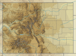
Poudre Lake
Jump to navigation
Jump to search
| Poudre Lake | |
|---|---|
 Poudre Lake | |
| Location | Larimer County, Colorado |
| Coordinates | 40°25′19″N 105°48′31″W / 40.422018°N 105.808636°W |
| Type | alpine lake |
| Surface elevation | 3,278 m (10,755 ft) |
Poudre Lake is an alpine lake and a main source of Poudre River. It is located just a few feet East of the Continental Divide in Larimer County, Colorado.[1]
U.S. Route 34 passes the lake and crosses the Continental Divide at Milner Pass at the southwest end of the lake.[2]
It is a "dead lake", as fish cannot survive in it because it freezes completely during the winter months.
References
- ^ "Poudre Lake". Geographic Names Information System. United States Geological Survey. Retrieved 2013-12-25.
- ^ Fall River Pass, Colorado, 7.5 Minute Topographic Quadrangle, USGS, 1958 (1985 rev.)
Categories:
- Articles with short description
- Short description is different from Wikidata
- Pages using infobox body of water with auto short description
- Coordinates on Wikidata
- Articles using infobox body of water without image bathymetry
- Lakes of Colorado
- Lakes of Larimer County, Colorado
- All stub articles
- Colorado geography stubs
