Narre Warren East, Victoria
| Narre Warren East Melbourne, Victoria | |||||||||||||||
|---|---|---|---|---|---|---|---|---|---|---|---|---|---|---|---|
 Narre Warren East | |||||||||||||||
 | |||||||||||||||
| Coordinates | 37°57′40″S 145°22′01″E / 37.961°S 145.367°E | ||||||||||||||
| Population | 434 (2021 census)[1] | ||||||||||||||
| Postcode(s) | 3804 | ||||||||||||||
| Elevation | 141 m (463 ft) | ||||||||||||||
| Location | |||||||||||||||
| LGA(s) | Shire of Yarra Ranges | ||||||||||||||
| State electorate(s) | Monbulk | ||||||||||||||
| Federal division(s) | Casey | ||||||||||||||
| |||||||||||||||
Narre Warren East is a small town located just outside[2] of the Melbourne metropolitan area in Victoria, Australia, 38 km south-east of Melbourne's central business district, located within the Shire of Yarra Ranges local government area. Narre Warren East recorded a population of 434 at the 2021 census.[1]
Despite its name, Narre Warren East is actually located in a north-easterly direction from Narre Warren North. It is also separated from the rest of the Narre Warrens, which are a part of the City of Casey.
Narre Warren East Post Office was short-lived operating in 1911 and 1912.[3]
The Narre Warren East public hall is located on Berwick Road.
Kerrs Park is located in Narre Warren East. Muddy Creek, a tributary of Cardinia Creek flows through the reserve.
Narre Warren East has an Active Fire Brigade (CFA) with two appliances servicing the local and surrounding areas.
References
- ^ a b "2021 QuickStats Narre Warren East". Australian Bureau of Statistics. Retrieved 9 July 2022.
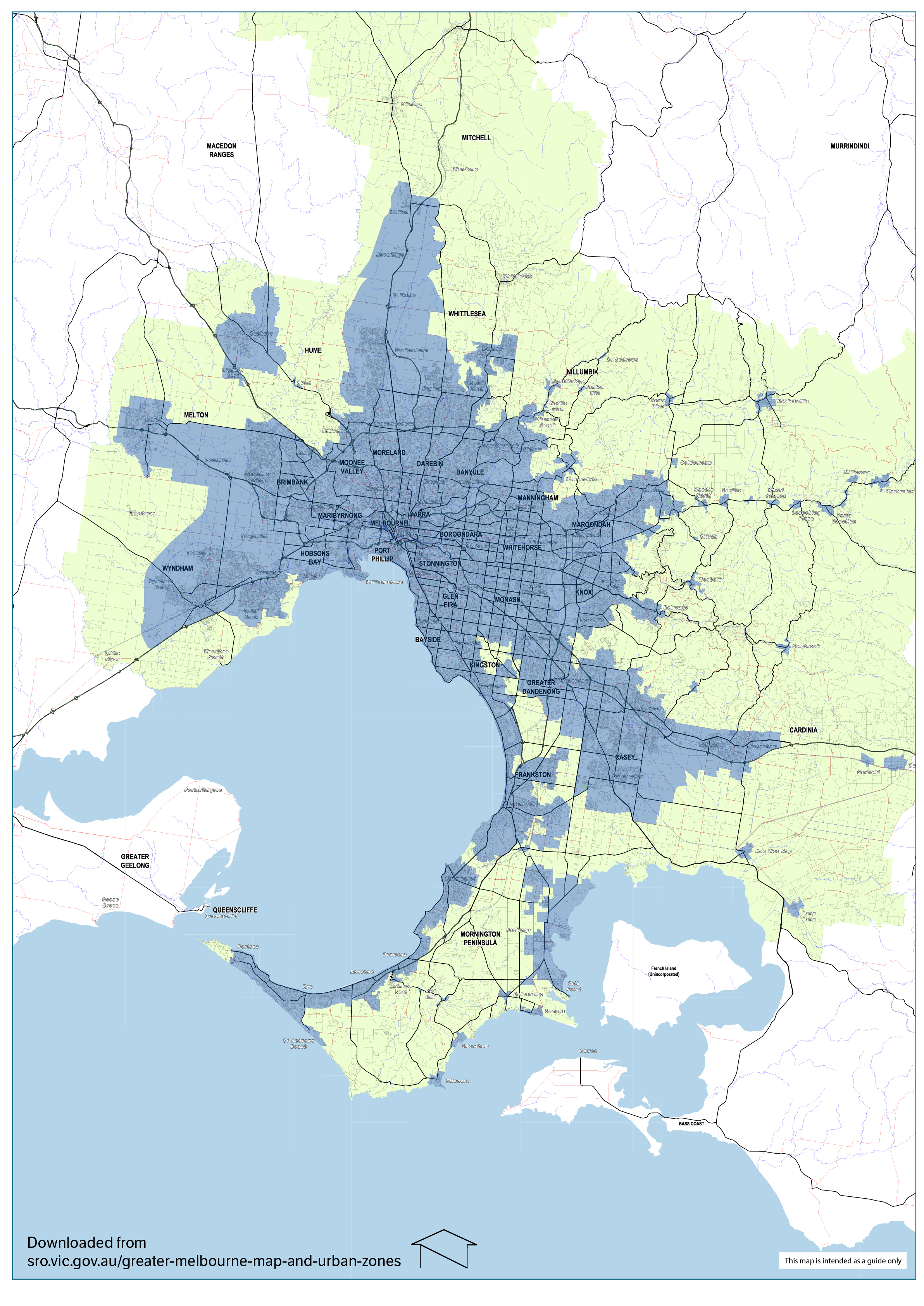
- ^ https://www.sro.vic.gov.au/ckfinder/userfiles/files/Map-of-greater-Melbourne-2018.jpg [bare URL image file]
- ^ Phoenix Auctions History, Post Office List, retrieved 24 March 2021

This article about a place in Melbourne is a stub. You can help Wikipedia by expanding it. |
- Pages using gadget WikiMiniAtlas
- All articles with bare URLs for citations
- Articles with bare URLs for citations from March 2022
- Articles with image file bare URLs for citations
- Use Australian English from August 2019
- All Wikipedia articles written in Australian English
- Use dmy dates from May 2022
- Articles with short description
- Short description is different from Wikidata
- Coordinates on Wikidata
- Towns in Victoria (state)
- Suburbs of Melbourne
- Suburbs of Yarra Ranges
- All stub articles
- Melbourne geography stubs
- Pages using the Kartographer extension