File:Bracondale Riding Boundary Map 1937–1967.tiff
Jump to navigation
Jump to search
Size of this PNG preview of this TIF file: 463 × 599 pixels. Other resolutions: 185 × 240 pixels | 371 × 480 pixels | 593 × 768 pixels | 791 × 1,024 pixels | 2,549 × 3,299 pixels.
Original file (2,549 × 3,299 pixels, file size: 645 KB, MIME type: image/tiff)
File history
Click on a date/time to view the file as it appeared at that time.
| Date/Time | Thumbnail | Dimensions | User | Comment | |
|---|---|---|---|---|---|
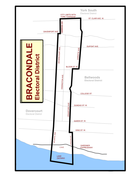
| current | 18:12, 13 November 2011 |  | 2,549 × 3,299 (645 KB) | commons>Abebenjoe | Added Oakwood Ave. as the northwestern boundary. Added colour to Lake Ontario, and slightly adjusted the lake's boundaries. |
File usage
There are no pages that use this file.