File:Yorke Peninsula LGA.png
Jump to navigation
Jump to search
No higher resolution available.
Yorke_Peninsula_LGA.png (400 × 456 pixels, file size: 30 KB, MIME type: image/png)
File history
Click on a date/time to view the file as it appeared at that time.
| Date/Time | Thumbnail | Dimensions | User | Comment | |
|---|---|---|---|---|---|
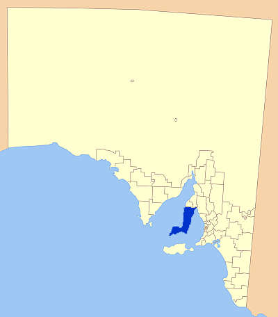
| current | 06:22, 23 July 2007 | | 400 × 456 (30 KB) | commons>Kare Kare~commonswiki | {{Information |Description=Map of South Australia showing the location of the Yorke Peninsula Local Government Area. A modification of GDFL map by Astrokey44; found here: http://commons.wikimedia.org/wiki/Image:SA_LGA_blank.png |Source=self-made |Date= |A |
File usage
There are no pages that use this file.