File:Williamson West Virginia aerial view.jpg
Jump to navigation
Jump to search
Size of this preview: 800 × 534 pixels. Other resolutions: 320 × 214 pixels | 640 × 427 pixels | 1,024 × 683 pixels | 1,500 × 1,001 pixels.
Original file (1,500 × 1,001 pixels, file size: 634 KB, MIME type: image/jpeg)
File history
Click on a date/time to view the file as it appeared at that time.
| Date/Time | Thumbnail | Dimensions | User | Comment | |
|---|---|---|---|---|---|
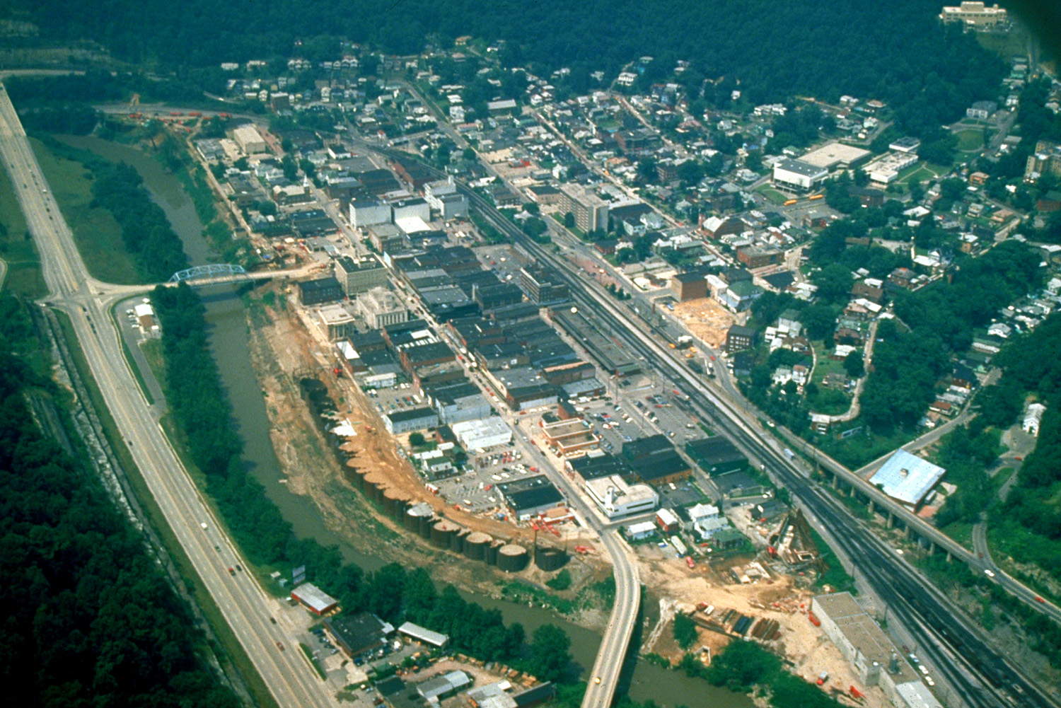
| current | 01:42, 22 March 2007 | | 1,500 × 1,001 (634 KB) | commons>DanMS | {{Information | Description = {{en|Aerial view of Williamson, West Virginia, USA. The border between West Virginia and Kentucky runs along the Tug Fork River, and the highway on the left is in the state of Kentucky.}} | Source = U.S. Army Corps |
File usage
There are no pages that use this file.