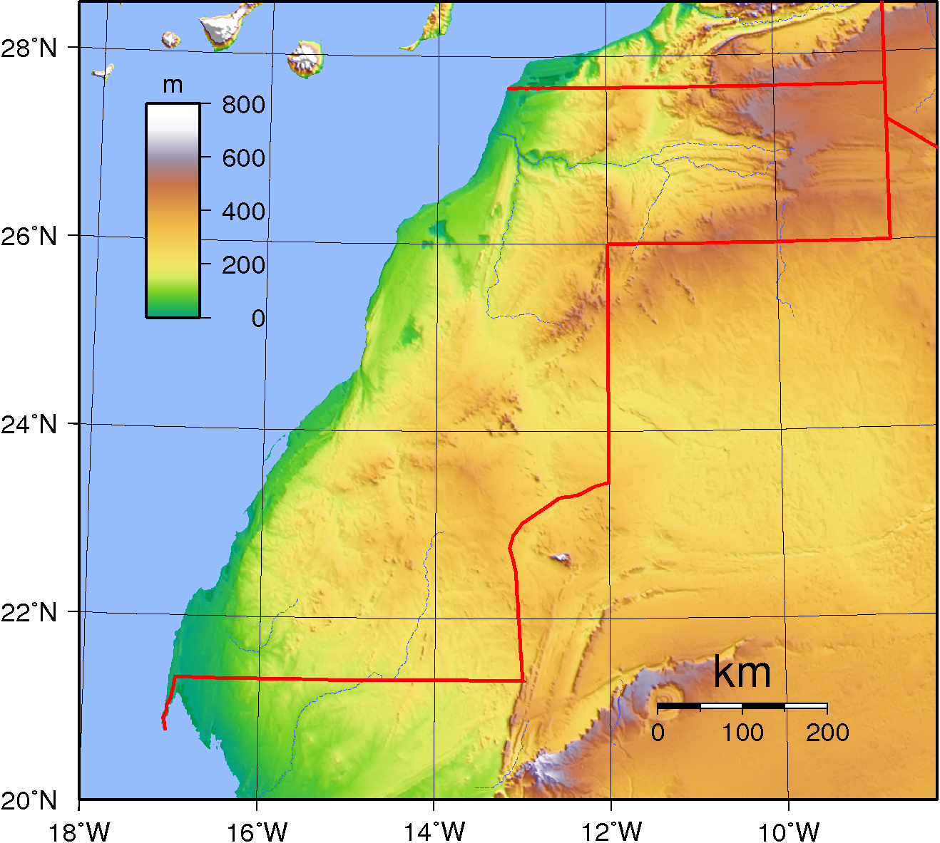
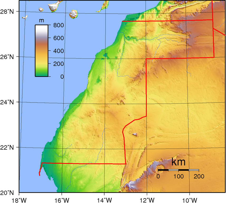
File:Western Sahara Topography.png
Jump to navigation
Jump to search
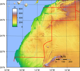
Size of this preview: 668 × 600 pixels. Other resolutions: 267 × 240 pixels | 535 × 480 pixels | 856 × 768 pixels | 1,141 × 1,024 pixels | 1,318 × 1,183 pixels.
Original file (1,318 × 1,183 pixels, file size: 1.05 MB, MIME type: image/png)
Summary
| Description | Topographic map of Western Sahara. Created with GMT from GLOBE data, |
| Date | |
| Source | Own work |
| Author | Sadalmelik |
Licensing
| This work has been released into the public domain by its author, I, Sadalmelik. This applies worldwide. In some countries this may not be legally possible; if so: I, Sadalmelik grants anyone the right to use this work for any purpose, without any conditions, unless such conditions are required by law. |
File history
Click on a date/time to view the file as it appeared at that time.
| Date/Time | Thumbnail | Dimensions | User | Comment | |
|---|---|---|---|---|---|
| current | 21:23, 29 June 2007 | | 1,318 × 1,183 (1.05 MB) | commons>Sadalmelik | Better data, better colours |
File usage
There are no pages that use this file.