File:Watsonville California aerial view.jpg
Jump to navigation
Jump to search
Size of this preview: 800 × 533 pixels. Other resolutions: 320 × 213 pixels | 640 × 426 pixels | 1,024 × 682 pixels | 1,500 × 999 pixels.
Original file (1,500 × 999 pixels, file size: 653 KB, MIME type: image/jpeg)
File history
Click on a date/time to view the file as it appeared at that time.
| Date/Time | Thumbnail | Dimensions | User | Comment | |
|---|---|---|---|---|---|
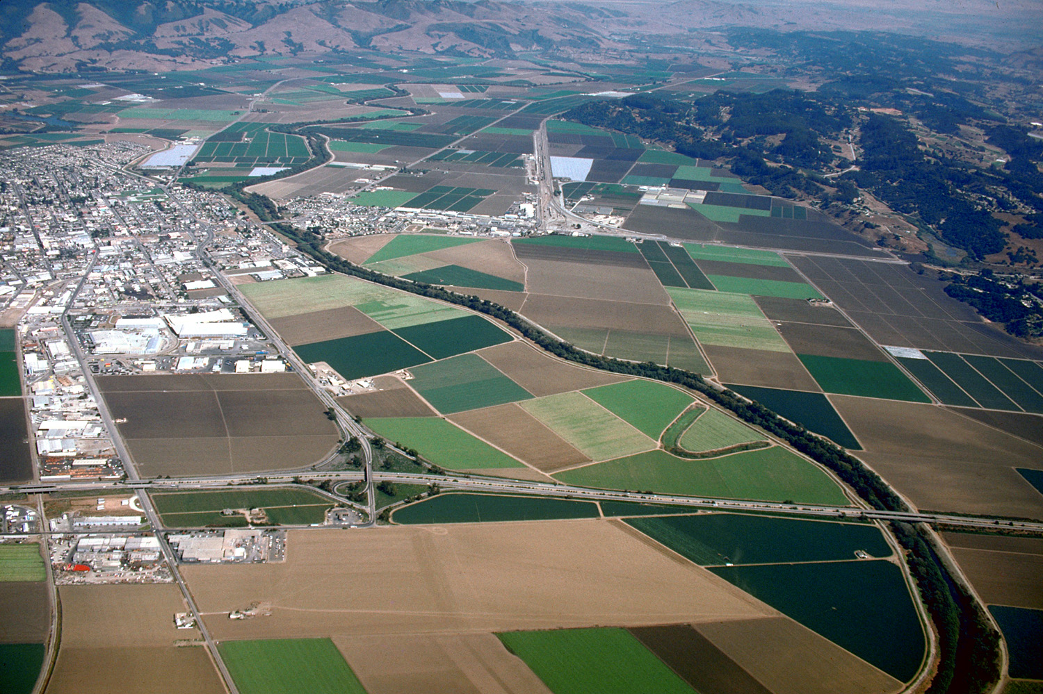
| current | 03:38, 3 May 2007 | | 1,500 × 999 (653 KB) | commons>DanMS | {{Information | Description = {{en|Aerial view of Watsonville, California, USA and the agricultural areas surrounding the town. This photograph shows only the southern section, about one quarter of the town. The Pajaro river meanders across the plain f |
File usage
There are no pages that use this file.