File:Washington State Route 251.png
Jump to navigation
Jump to search

Size of this preview: 800 × 474 pixels. Other resolutions: 320 × 190 pixels | 640 × 380 pixels | 1,024 × 607 pixels | 1,280 × 759 pixels | 3,044 × 1,805 pixels.
Original file (3,044 × 1,805 pixels, file size: 515 KB, MIME type: image/png)
File history
Click on a date/time to view the file as it appeared at that time.
| Date/Time | Thumbnail | Dimensions | User | Comment | |
|---|---|---|---|---|---|
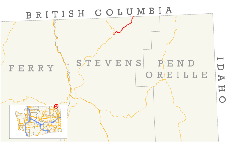
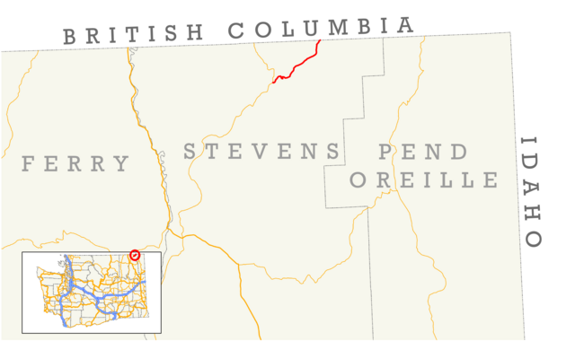
| current | 16:59, 29 July 2012 | | 3,044 × 1,805 (515 KB) | commons>Scott5114 | {{Information |Description=Map of Washington's former State Route 251. |Source=Created from NHPN (FHWA) and Census Bureau data. |Date=July 29, 2012 |Author=Scott Nazelrod |Permission=Public domain, credit appreciated but not required... |
File usage
There are no pages that use this file.