File:Waradgery NSW.PNG
Jump to navigation
Jump to search
No higher resolution available.
Waradgery_NSW.PNG (350 × 286 pixels, file size: 30 KB, MIME type: image/png)
File history
Click on a date/time to view the file as it appeared at that time.
| Date/Time | Thumbnail | Dimensions | User | Comment | |
|---|---|---|---|---|---|
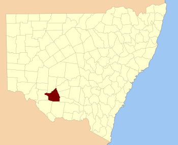
| current | 15:41, 25 March 2007 | | 350 × 286 (30 KB) | commons>Roke~commonswiki | Location of Waradgery county in New South Wales, one of the Cadastral divisions of New South Wales {{self|GFDL}} Category:Cadastral maps of New South Wales |
File usage
There are no pages that use this file.