File:Walkinstown Roundabout - geograph.org.uk - 440919.jpg
Jump to navigation
Jump to search
No higher resolution available.
Walkinstown_Roundabout_-_geograph.org.uk_-_440919.jpg (640 × 480 pixels, file size: 130 KB, MIME type: image/jpeg)
File history
Click on a date/time to view the file as it appeared at that time.
| Date/Time | Thumbnail | Dimensions | User | Comment | |
|---|---|---|---|---|---|
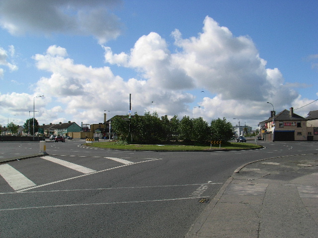
| current | 13:06, 4 February 2011 | | 640 × 480 (130 KB) | commons>GeographBot | == {{int:filedesc}} == {{Information |description={{en|1=Walkinstown Roundabout The junction between (starting north and going clockwise) Walkinstown Road, Cromwell's Fort Road, St. Peter's Road, Greenhills Road, Ballymount Road Lower and Walkinstown Aven |
File usage
There are no pages that use this file.