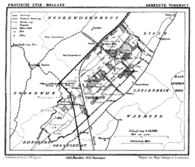
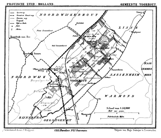
File:Voorhout 1867.png
Jump to navigation
Jump to search

Size of this preview: 699 × 599 pixels. Other resolutions: 280 × 240 pixels | 560 × 480 pixels | 896 × 768 pixels | 1,194 × 1,024 pixels | 1,599 × 1,371 pixels.
Original file (1,599 × 1,371 pixels, file size: 183 KB, MIME type: image/png)
File history
Click on a date/time to view the file as it appeared at that time.
| Date/Time | Thumbnail | Dimensions | User | Comment | |
|---|---|---|---|---|---|
| current | 16:42, 11 July 2007 | | 1,599 × 1,371 (183 KB) | commons>P199 | {{Information |Description=Historic map of Voorhout (now part of municipality Teylingen), South Holland, the Netherlands |Source=Gemeente Atlas van Nederland (Municipal Atlas of the Netherlands) |Date=1865-1870 |Author=J. Kuyper |Permission= |other_versio |
File usage
There are no pages that use this file.