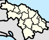
File:Villa Clara Province location map.png
Jump to navigation
Jump to search
No higher resolution available.
Villa_Clara_Province_location_map.png (169 × 137 pixels, file size: 14 KB, MIME type: image/png)
File history
Click on a date/time to view the file as it appeared at that time.
| Date/Time | Thumbnail | Dimensions | User | Comment | |
|---|---|---|---|---|---|
| current | 17:33, 9 April 2023 | | 169 × 137 (14 KB) | commons>CubanoBoi | Uploaded own work with UploadWizard |
File usage
There are no pages that use this file.