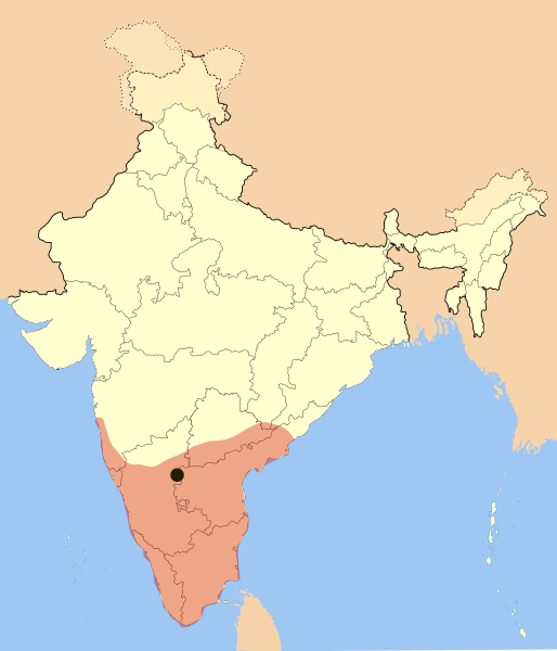
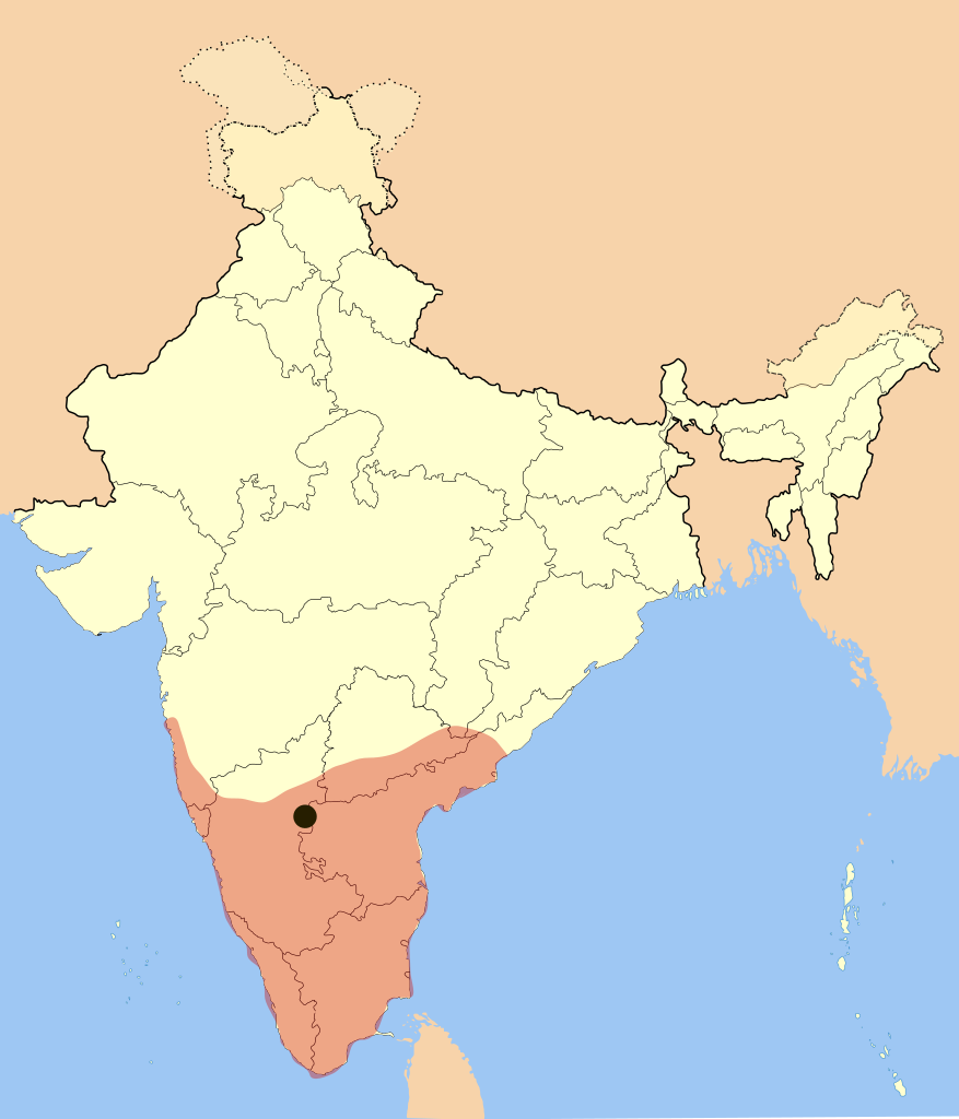
File:Vijayanagara-empire-map.svg
Jump to navigation
Jump to search

Size of this PNG preview of this SVG file: 514 × 600 pixels. Other resolutions: 206 × 240 pixels | 411 × 480 pixels | 658 × 768 pixels | 877 × 1,024 pixels | 1,755 × 2,048 pixels | 1,585 × 1,850 pixels.
Original file (SVG file, nominally 1,585 × 1,850 pixels, file size: 372 KB)
File history
Click on a date/time to view the file as it appeared at that time.
| Date/Time | Thumbnail | Dimensions | User | Comment | |
|---|---|---|---|---|---|
| current | 20:09, 3 March 2017 | | 1,585 × 1,850 (372 KB) | commons>BurritoBazooka | rederive from new modern boundaries map. Some state borders have changed (Telangana). |
File usage
There are no pages that use this file.