File:Verlaufskarte Nidda.png
Jump to navigation
Jump to search
Size of this preview: 565 × 600 pixels. Other resolutions: 226 × 240 pixels | 452 × 480 pixels | 724 × 768 pixels | 1,097 × 1,164 pixels.
Original file (1,097 × 1,164 pixels, file size: 1.93 MB, MIME type: image/png)
File history
Click on a date/time to view the file as it appeared at that time.
| Date/Time | Thumbnail | Dimensions | User | Comment | |
|---|---|---|---|---|---|
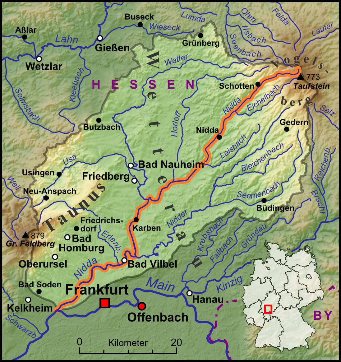
| current | 10:08, 5 December 2013 | | 1,097 × 1,164 (1.93 MB) | commons>Lencer | == {{int:filedesc}} == {{Information |Description=Die Nidda, ihre Nebenflüsse und das Wassereinzugsgebiet begrenzt durch die Wasserscheiden |Source=own work, used: * Verlaufskarte Lahn.png by [[Us... |
File usage
There are no pages that use this file.