File:United States House of Representatives, Georgia District 8 map.png
Jump to navigation
Jump to search
No higher resolution available.
United_States_House_of_Representatives,_Georgia_District_8_map.png (635 × 379 pixels, file size: 39 KB, MIME type: image/png)
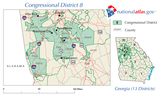
This is no longer the current District 8 map for Georgia. See Image:United States House of Representatives, Georgia District 08, 110th Congress.png for the current map.
A map of United States House of Representatives, Georgia District 8 (109th Congress).
The map is from nationalatlas.gov, specifically GA08_109.gif.
This map was obtained from an edition of the National Atlas of the United States. Like almost all works of the U.S. federal government, works from the National Atlas are in the public domain in the United States.
Online access: NationalAtlas.gov | 1970 print edition: Library of Congress, Perry-Castañeda Library
|
File history
Click on a date/time to view the file as it appeared at that time.
| Date/Time | Thumbnail | Dimensions | User | Comment | |
|---|---|---|---|---|---|
| current | 20:38, 31 March 2006 | | 635 × 379 (39 KB) | commons>Dbenbenn | from http://nationalatlas.gov/printable/images/preview/congdist/GA08_109.gif |
File usage
There are no pages that use this file.