File:Underfallyardexternalaccumulator.JPG
Jump to navigation
Jump to search

Size of this preview: 450 × 600 pixels. Other resolutions: 180 × 240 pixels | 360 × 480 pixels | 576 × 768 pixels | 768 × 1,024 pixels | 2,136 × 2,848 pixels.
Original file (2,136 × 2,848 pixels, file size: 1.23 MB, MIME type: image/jpeg)
Summary
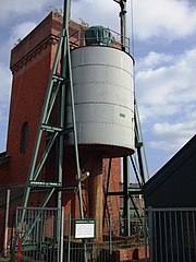
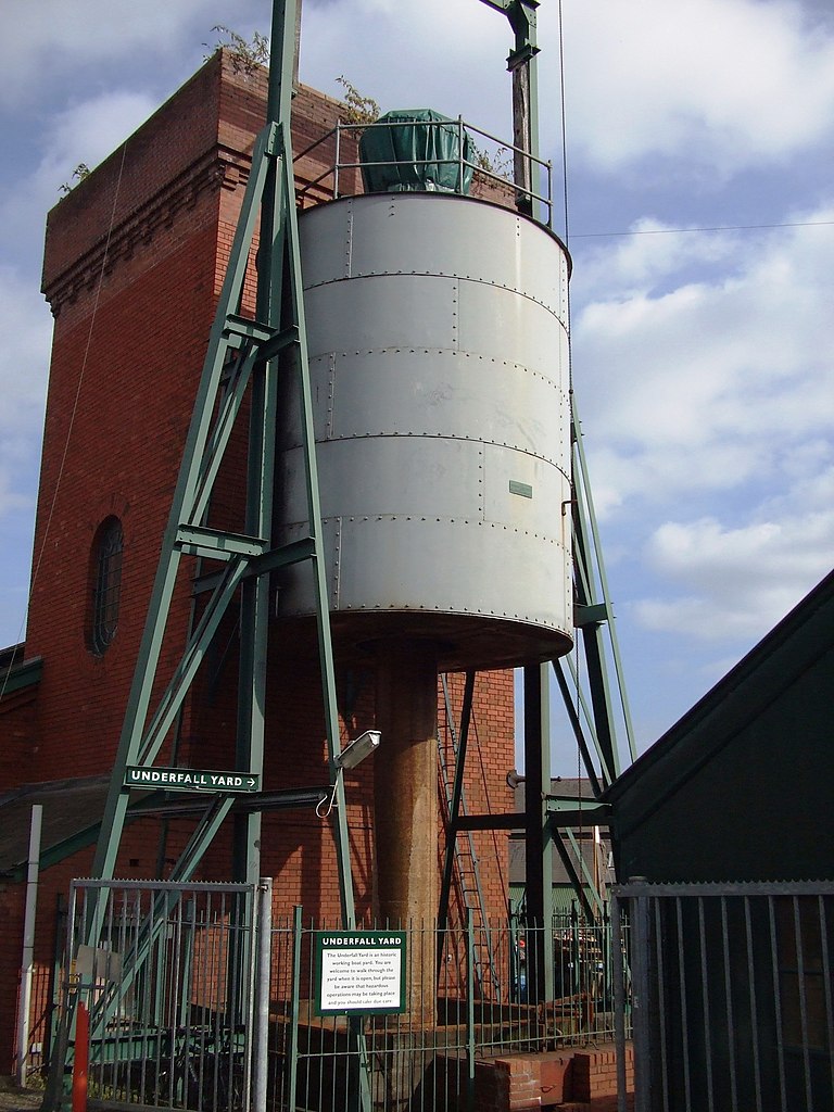
| Description | External accumulator, Hydrauling power house, Underfall yard |
| Date | |
| Source | Own work |
| Author | Rodw |
| Other versions |
 |
| Camera location | | View this and other nearby images on: OpenStreetMap |
|---|
Licensing
| I, the copyright holder of this work, release this work into the public domain. This applies worldwide. In some countries this may not be legally possible; if so: I grant anyone the right to use this work for any purpose, without any conditions, unless such conditions are required by law. |
File history
Click on a date/time to view the file as it appeared at that time.
| Date/Time | Thumbnail | Dimensions | User | Comment | |
|---|---|---|---|---|---|
| current | 12:04, 9 September 2007 | | 2,136 × 2,848 (1.23 MB) | commons>Rodw | {{Information |Description=External accumulator, Hydrauling power house, Underfall yard |Source=self-made |Date=8 Sept 2007 |Author= Rodw }} |
File usage
There are no pages that use this file.