File:Ugarit mapa.jpg
Jump to navigation
Jump to search
No higher resolution available.
Ugarit_mapa.jpg (239 × 260 pixels, file size: 76 KB, MIME type: image/jpeg)
File history
Click on a date/time to view the file as it appeared at that time.
| Date/Time | Thumbnail | Dimensions | User | Comment | |
|---|---|---|---|---|---|
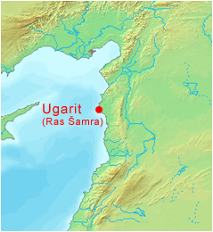
| current | 10:40, 19 January 2010 | | 239 × 260 (76 KB) | commons>Harold | == {{int:filedesc}} == {{Information |Description={{cs|Mapa syrské archeologické lokality Ugarit (dnešní Ras Šamra). Při úpravě mapy byl použit software [http://www2.demis.nl/ DEMIS World Map Server].}} |Source=Transferred from [http://cs.wikip |
File usage
There are no pages that use this file.