File:US Combined Statistical Areas.png
Jump to navigation
Jump to search
Size of this preview: 776 × 600 pixels. Other resolutions: 311 × 240 pixels | 621 × 480 pixels | 994 × 768 pixels | 1,280 × 989 pixels | 2,112 × 1,632 pixels.
Original file (2,112 × 1,632 pixels, file size: 77 KB, MIME type: image/png)
File history
Click on a date/time to view the file as it appeared at that time.
| Date/Time | Thumbnail | Dimensions | User | Comment | |
|---|---|---|---|---|---|
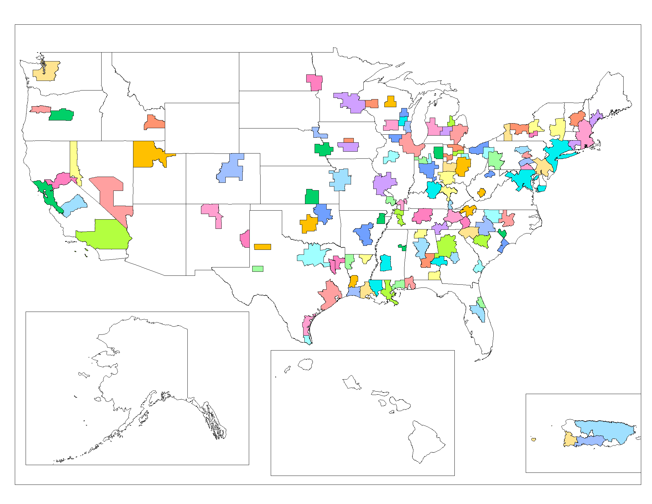
| current | 06:32, 28 July 2008 | | 2,112 × 1,632 (77 KB) | commons>File Upload Bot (Magnus Manske) | {{BotMoveToCommons|en.wikipedia}} {{Information |Description={{en|Map of the Combined Statistical Areas of the United States (based on 2005 US Census data). Created by Rarelibra 20:14, 25 October 2006 (UTC) for public domain use, u |
File usage
There are no pages that use this file.