File:US 72A (AL) map.svg
Jump to navigation
Jump to search

Size of this PNG preview of this SVG file: 800 × 466 pixels. Other resolutions: 320 × 187 pixels | 640 × 373 pixels | 1,024 × 597 pixels | 1,280 × 746 pixels | 2,560 × 1,493 pixels | 1,180 × 688 pixels.
Original file (SVG file, nominally 1,180 × 688 pixels, file size: 248 KB)
_map.svg)
File history
Click on a date/time to view the file as it appeared at that time.
| Date/Time | Thumbnail | Dimensions | User | Comment | |
|---|---|---|---|---|---|
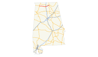
| current | 22:24, 15 July 2009 | | 1,180 × 688 (248 KB) | commons>25or6to4 | {{Information |Description=Map of Alabama highlighting US Route 72 Alt. |Source=Own work by uploader |Date=3/24/09 |Author=http://commons.wikimedia.org/wiki/User:25or6to4 |Permission=Own work, copyleft: Multi-license with GFDL and Creative Commons CC-BY- |
File usage
There are no pages that use this file.
_map.svg)