File:USGS map of the 2012 Indian Ocean Earthquake.jpg
Jump to navigation
Jump to search

Size of this preview: 512 × 600 pixels. Other resolutions: 205 × 240 pixels | 612 × 717 pixels.
Original file (612 × 717 pixels, file size: 69 KB, MIME type: image/jpeg)
File history
Click on a date/time to view the file as it appeared at that time.
| Date/Time | Thumbnail | Dimensions | User | Comment | |
|---|---|---|---|---|---|
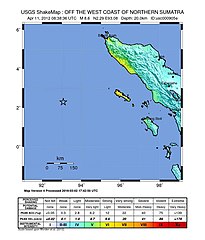
| current | 17:15, 13 March 2016 | | 612 × 717 (69 KB) | commons>Dawnseeker2000 | Newer map that more closely reflects the actual felt intensities of this extraordinarily large strike-slip event. The USGS states that the maximum intensity was VII (''Very strong'') at Banda Aceh and Meulaboh, and VI (''Strong'') at Padang. |
File usage
There are no pages that use this file.