File:USGS Rikers Island.png
Jump to navigation
Jump to search

Size of this preview: 732 × 599 pixels. Other resolutions: 293 × 240 pixels | 586 × 480 pixels | 938 × 768 pixels | 1,250 × 1,024 pixels | 2,501 × 2,048 pixels | 3,287 × 2,692 pixels.
Original file (3,287 × 2,692 pixels, file size: 12.55 MB, MIME type: image/png)
File history
Click on a date/time to view the file as it appeared at that time.
| Date/Time | Thumbnail | Dimensions | User | Comment | |
|---|---|---|---|---|---|
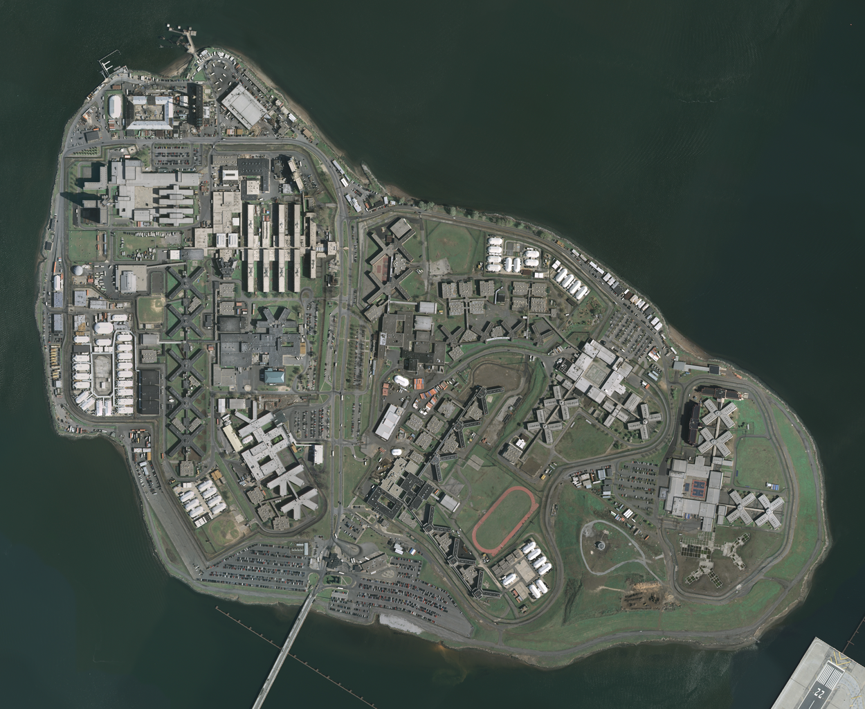
| current | 12:19, 22 April 2009 | | 3,287 × 2,692 (12.55 MB) | commons>Herr Satz | {{Information |Description={{en|1=w:Orthophoto of w:Rikers Island.}} |Source=[http://gisdata.usgs.net/website/seamless/viewer.htm ''The National Map'' Seamless Server], layer [http://gisdata.usgs.gov/edc_catalog/fetch_layer_docs.php?LayerName=Ne |
File usage
There are no pages that use this file.