File:USGS 1950s mapping field camp.jpg
Jump to navigation
Jump to search

Size of this preview: 800 × 497 pixels. Other resolutions: 320 × 199 pixels | 640 × 398 pixels | 1,024 × 637 pixels | 1,280 × 796 pixels | 2,672 × 1,661 pixels.
Original file (2,672 × 1,661 pixels, file size: 3.5 MB, MIME type: image/jpeg)
File history
Click on a date/time to view the file as it appeared at that time.
| Date/Time | Thumbnail | Dimensions | User | Comment | |
|---|---|---|---|---|---|
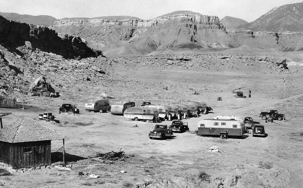
| current | 20:50, 30 January 2009 | | 2,672 × 1,661 (3.5 MB) | commons>Awickert | {{Information |Description={{en|1=A typical USGS mapping field camp. Note the helicopter parked near the trailers. Helicopters were first used by the USGS for topographic mapping in Death Valley in 1948. (Description from USGS.)}} |Source=USGS Historical |
File usage
There are no pages that use this file.