File:USCOE (Glacial map) 14000 BCE.jpg
Jump to navigation
Jump to search

Size of this preview: 800 × 556 pixels. Other resolutions: 320 × 223 pixels | 640 × 445 pixels | 1,024 × 712 pixels | 1,280 × 890 pixels | 1,497 × 1,041 pixels.
Original file (1,497 × 1,041 pixels, file size: 168 KB, MIME type: image/jpeg)
_14000_BCE.jpg)
Summary
| Description |
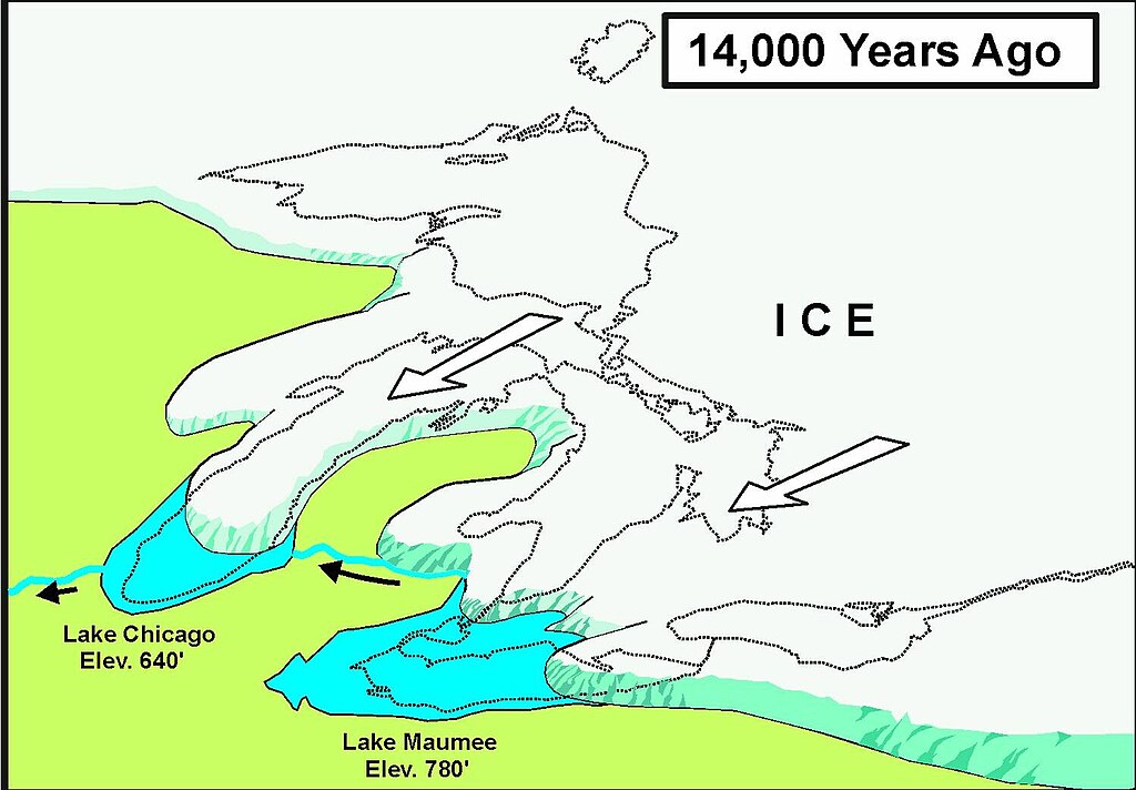
English: Drawing of Great Lakes Glaciers (14,000 BCE) |
| Date | Unknown date |
| Source | U.S. Army Corps of Engineers (Detroit District) |
| Author | Unknown author |
| Permission (Reusing this file) |
Public Domain |
Licensing
This file is a work of a U.S. Army soldier or employee, taken or made as part of that person's official duties. As a work of the U.S. federal government, it is in the public domain in the United States.
|
 |
File history
Click on a date/time to view the file as it appeared at that time.
| Date/Time | Thumbnail | Dimensions | User | Comment | |
|---|---|---|---|---|---|
| current | 14:10, 29 March 2009 | | 1,497 × 1,041 (168 KB) | commons>Chris Light | {{Information |Description = Drawing of Great Lakes Glaciers (14,000 BCE) |Source = U.S. Army Corp. of Engineers (Detroit District) |Date = unknown |Author = unknown |Permission = Public Domain |other_versions = }} |
File usage
There are no pages that use this file.
_14000_BCE.jpg)