File:USA Iowa location map.svg
Jump to navigation
Jump to search

Size of this PNG preview of this SVG file: 800 × 527 pixels. Other resolutions: 320 × 211 pixels | 640 × 422 pixels | 1,024 × 674 pixels | 1,280 × 843 pixels | 2,560 × 1,686 pixels | 1,201 × 791 pixels.
Original file (SVG file, nominally 1,201 × 791 pixels, file size: 482 KB)
File history
Click on a date/time to view the file as it appeared at that time.
| Date/Time | Thumbnail | Dimensions | User | Comment | |
|---|---|---|---|---|---|
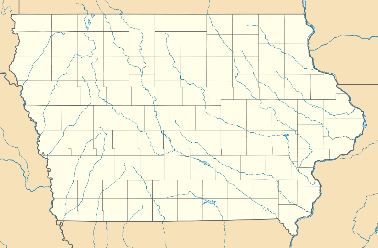
| current | 08:12, 20 July 2009 | | 1,201 × 791 (482 KB) | commons>Alexrk2 | == Beschreibung == {{Information |Description= {{de|Positionskarte von Iowa, USA}} Quadratische Plattkarte, N-S-Streckung 130.0 %. Geographische Begrenzung der Karte: * N: 43.7° N * S: 40.2° N * W: 96.8° W * O: 89.9° W {{en|Lo |
File usage
There are no pages that use this file.