File:Trig point on Whitehorse Hill - geograph.org.uk - 1370581.jpg
Jump to navigation
Jump to search
No higher resolution available.
Trig_point_on_Whitehorse_Hill_-_geograph.org.uk_-_1370581.jpg (640 × 426 pixels, file size: 92 KB, MIME type: image/jpeg)
File history
Click on a date/time to view the file as it appeared at that time.
| Date/Time | Thumbnail | Dimensions | User | Comment | |
|---|---|---|---|---|---|
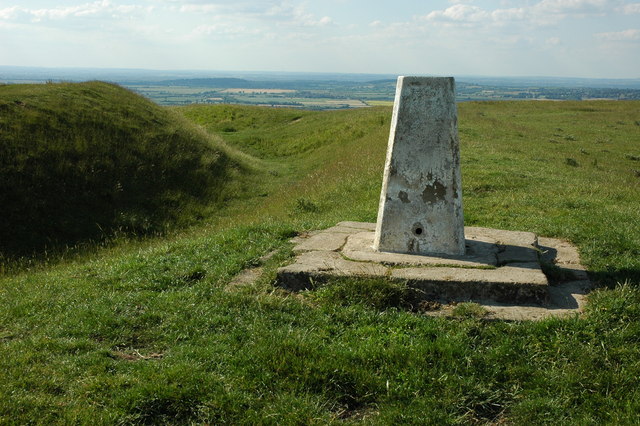
| current | 16:35, 28 February 2011 | | 640 × 426 (92 KB) | commons>GeographBot | == {{int:filedesc}} == {{Information |description={{en|1=Trig point on Whitehorse Hill The trig point on Whtiehorse Hill is located beside the earthworks of Uffington Castle, at 261m this is the highest point in Oxfordshire.}} |date=2009-06-24 |source=Fro |
File usage
There are no pages that use this file.