File:Titnore Lane - geograph.org.uk - 1333857.jpg
Jump to navigation
Jump to search
No higher resolution available.
Titnore_Lane_-_geograph.org.uk_-_1333857.jpg (640 × 480 pixels, file size: 73 KB, MIME type: image/jpeg)
File history
Click on a date/time to view the file as it appeared at that time.
| Date/Time | Thumbnail | Dimensions | User | Comment | |
|---|---|---|---|---|---|
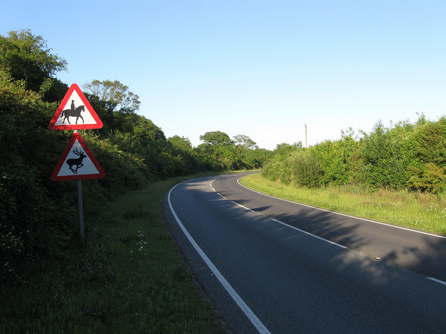
| current | 02:40, 28 February 2011 | | 640 × 480 (73 KB) | commons>GeographBot | == {{int:filedesc}} == {{Information |description={{en|1=Titnore Lane Marked on some maps as the A2700 but this information has been covered over on all the road signs in the vicinity. Titnore Lane begins at Goring Crossways and headed north to a junction |
File usage
There are no pages that use this file.