File:Timor.png
Jump to navigation
Jump to search
Size of this preview: 592 × 599 pixels. Other resolutions: 237 × 240 pixels | 474 × 480 pixels | 994 × 1,006 pixels.
Original file (994 × 1,006 pixels, file size: 208 KB, MIME type: image/png)
File history
Click on a date/time to view the file as it appeared at that time.
| Date/Time | Thumbnail | Dimensions | User | Comment | |
|---|---|---|---|---|---|
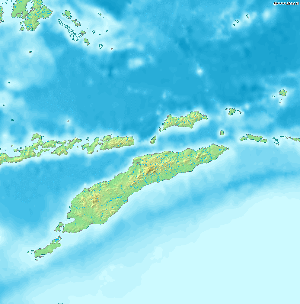
| current | 09:53, 12 December 2006 | | 994 × 1,006 (208 KB) | commons>Mats Halldin~commonswiki | Map of Timor Bounding box West 122°, South -12°, East 129°, North -5°. Center at {{coor d|8.50000|S|125.50000|E|scale:4200000}}. {{demis-pd}} category:maps of East Timor |
File usage
There are no pages that use this file.