File:Tierra de Madrid en el siglo XIV.svg
Jump to navigation
Jump to search

Size of this PNG preview of this SVG file: 351 × 384 pixels. Other resolutions: 219 × 240 pixels | 439 × 480 pixels | 702 × 768 pixels | 936 × 1,024 pixels | 1,872 × 2,048 pixels.
Original file (SVG file, nominally 351 × 384 pixels, file size: 68 KB)
File history
Click on a date/time to view the file as it appeared at that time.
| Date/Time | Thumbnail | Dimensions | User | Comment | |
|---|---|---|---|---|---|
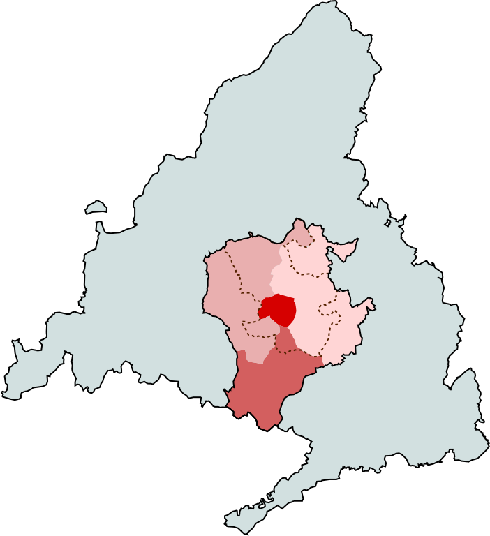
| current | 11:01, 10 March 2020 | | 351 × 384 (68 KB) | commons>Up and Go | == {{int:filedesc}} == {{Information |description={{es|1=Tierra de Madrid en el siglo XIV (con sus cuatro sexmos) sobre la actual provincia de Madrid, con el actual término municipal de Madrid superpuesto con línea discontinua. Según [https://web.archive.org/web/20200310105840/https://geografiaehistoria.ucm.es/data/cont/media/www/pag-8167/Madrid,%20de%20territorio%20fronterizo%20a%20region%20metropolitana1.pdf Bahamonde Magro & Otero Carvajal (1989).]}} |source= {{attribSVG|Carabanchel Alto (... |
File usage
There are no pages that use this file.