File:The Sundial from the Chinle Trail.jpg
From WikiProjectMed
Jump to navigation
Jump to search
Size of this preview: 800 × 492 pixels. Other resolutions: 320 × 197 pixels | 640 × 393 pixels | 1,024 × 629 pixels | 1,280 × 787 pixels | 1,775 × 1,091 pixels.
Original file (1,775 × 1,091 pixels, file size: 812 KB, MIME type: image/jpeg)
This file is from a shared repository and may be used by other projects. The description on its file description page there is shown below.
Summary
DescriptionThe Sundial from the Chinle Trail.jpg |
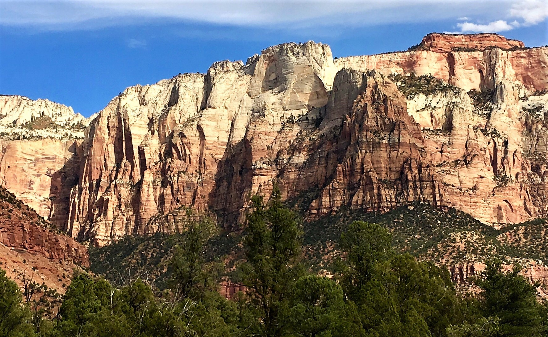
English: The Sundial from the Chinle Trail. The West Temple to right. |
Date | Taken on 17 October 2019, 14:52:03 |
Source | https://www.flickr.com/photos/150025895@N04/49233640952/ |
Author | Amy Washuta |
Camera location | 37° 12′ 39.61″ N, 113° 03′ 36.21″ W | View this and other nearby images on: OpenStreetMap | 37.211003; -113.060058 |
---|
Licensing
This file is made available under the Creative Commons CC0 1.0 Universal Public Domain Dedication. | |
The person who associated a work with this deed has dedicated the work to the public domain by waiving all of their rights to the work worldwide under copyright law, including all related and neighboring rights, to the extent allowed by law. You can copy, modify, distribute and perform the work, even for commercial purposes, all without asking permission.
http://creativecommons.org/publicdomain/zero/1.0/deed.enCC0Creative Commons Zero, Public Domain Dedicationfalsefalse |
This image was originally posted to Flickr by amywashuta at https://flickr.com/photos/150025895@N04/49233640952. It was reviewed on 25 September 2020 by FlickreviewR 2 and was confirmed to be licensed under the terms of the cc-zero. |
25 September 2020
Annotations InfoField | This image is annotated: View the annotations at Commons |
681
111
408
337
1775
1091
The Sundial
1305
78
435
242
1775
1091
The West Temple
Items portrayed in this file
depicts
some value
17 October 2019
37°12'39.611"N, 113°3'36.209"W
0.00063694267515923566 second
2.2
4.15 millimetre
image/jpeg
File history
Click on a date/time to view the file as it appeared at that time.
Date/Time | Thumbnail | Dimensions | User | Comment | |
---|---|---|---|---|---|
current | 06:03, 25 September 2020 | 1,775 × 1,091 (812 KB) | commons>Ron Clausen | crop, exposure |
File usage
There are no pages that use this file.
Metadata
This file contains additional information, probably added from the digital camera or scanner used to create or digitize it.
If the file has been modified from its original state, some details may not fully reflect the modified file.
Camera manufacturer | Apple |
---|---|
Camera model | iPhone 6s |
Author | Picasa |
Exposure time | 1/1,570 sec (0.00063694267515924) |
F Number | f/2.2 |
ISO speed rating | 25 |
Date and time of data generation | 14:52, 17 October 2019 |
Lens focal length | 4.15 mm |
Latitude | 37° 12′ 39.61″ N |
Longitude | 113° 3′ 36.21″ W |
Altitude | 1,311.281 meters above sea level |
Orientation | Normal |
Horizontal resolution | 72 dpi |
Vertical resolution | 72 dpi |
Software used | Windows Photo Editor 10.0.10011.16384 |
File change date and time | 22:56, 24 September 2020 |
Y and C positioning | Centered |
Exposure Program | Normal program |
Exif version | 2.21 |
Date and time of digitizing | 14:52, 17 October 2019 |
Meaning of each component |
|
APEX shutter speed | 10.616419010193 |
APEX aperture | 2.2750070478485 |
APEX brightness | 10.208036622584 |
APEX exposure bias | 0 |
Metering mode | Pattern |
Flash | Flash did not fire, compulsory flash suppression |
DateTimeOriginal subseconds | 091 |
DateTimeDigitized subseconds | 091 |
Supported Flashpix version | 1 |
Color space | sRGB |
Sensing method | One-chip color area sensor |
Scene type | A directly photographed image |
Exposure mode | Auto exposure |
White balance | Auto white balance |
Focal length in 35 mm film | 29 mm |
Scene capture type | Standard |
Unique image ID | bcec840fd87510e2c58154573eb87904 |
GPS time (atomic clock) | 20:52 |
Speed unit | Kilometers per hour |
Speed of GPS receiver | 0.88999998569403 |
Reference for direction of image | True direction |
Direction of image | 68.595169082126 |
Reference for bearing of destination | True direction |
Bearing of destination | 68.595169082126 |
GPS date | 17 October 2019 |
GPS tag version | 2.2.0.0 |
IIM version | 4 |
Retrieved from "https://mdwiki.org/wiki/File:The_Sundial_from_the_Chinle_Trail.jpg"