File:The Castle Line atlas of South Africa, Plan of Pretoria, 1895.jpg
Jump to navigation
Jump to search
Size of this preview: 792 × 600 pixels. Other resolutions: 317 × 240 pixels | 634 × 480 pixels | 1,014 × 768 pixels | 1,166 × 883 pixels.
Original file (1,166 × 883 pixels, file size: 287 KB, MIME type: image/jpeg)
File history
Click on a date/time to view the file as it appeared at that time.
| Date/Time | Thumbnail | Dimensions | User | Comment | |
|---|---|---|---|---|---|
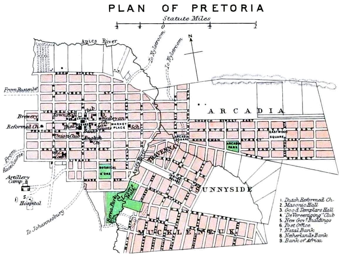
| current | 13:27, 10 August 2018 | | 1,166 × 883 (287 KB) | commons>JMK | {{Information |description ={{en|1=[https://www.flickr.com/photos/internetarchivebookimages/tags/bookidcastlelineatlaso00lond The Castle Line atlas of South Africa : a series of 16 plates, printed in colour, containing 30 maps and diagrams, with an account of the geograaphical features , the climate, the mineral and other resources, and the history of South Africa. And an index of over 6,000 names]}} |date =1895 |source =https://www.flickr.com/photos/internetarchivebookimage... |
File usage
There are no pages that use this file.