File:Ternopil province physical map.svg
Jump to navigation
Jump to search

Size of this PNG preview of this SVG file: 417 × 599 pixels. Other resolutions: 167 × 240 pixels | 334 × 480 pixels | 535 × 768 pixels | 713 × 1,024 pixels | 1,426 × 2,048 pixels | 532 × 764 pixels.
Original file (SVG file, nominally 532 × 764 pixels, file size: 419 KB)
File history
Click on a date/time to view the file as it appeared at that time.
| Date/Time | Thumbnail | Dimensions | User | Comment | |
|---|---|---|---|---|---|
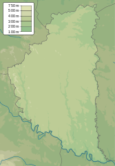
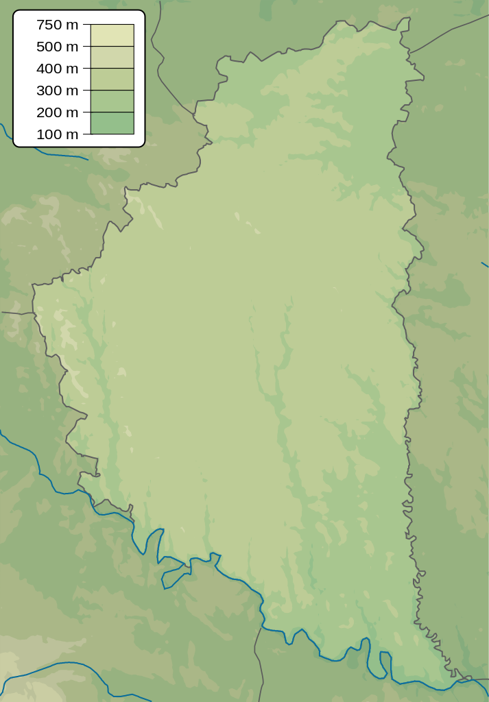
| current | 18:25, 21 December 2010 | | 532 × 764 (419 KB) | commons>Urutseg | == {{int:filedesc}} == {{Information |Description= {{en|1=Physical map of Ternopil province, Ukraine}} {{ru|1=Физическая карта Тернопольской области, Украина}} |Source=own work |Date=2010-12-21 |Author=[[:user:Uru |
File usage
There are no pages that use this file.