File:Tashkent History 1940.jpg
Jump to navigation
Jump to search
Size of this preview: 791 × 600 pixels. Other resolutions: 317 × 240 pixels | 633 × 480 pixels | 844 × 640 pixels.
Original file (844 × 640 pixels, file size: 335 KB, MIME type: image/jpeg)
File history
Click on a date/time to view the file as it appeared at that time.
| Date/Time | Thumbnail | Dimensions | User | Comment | |
|---|---|---|---|---|---|
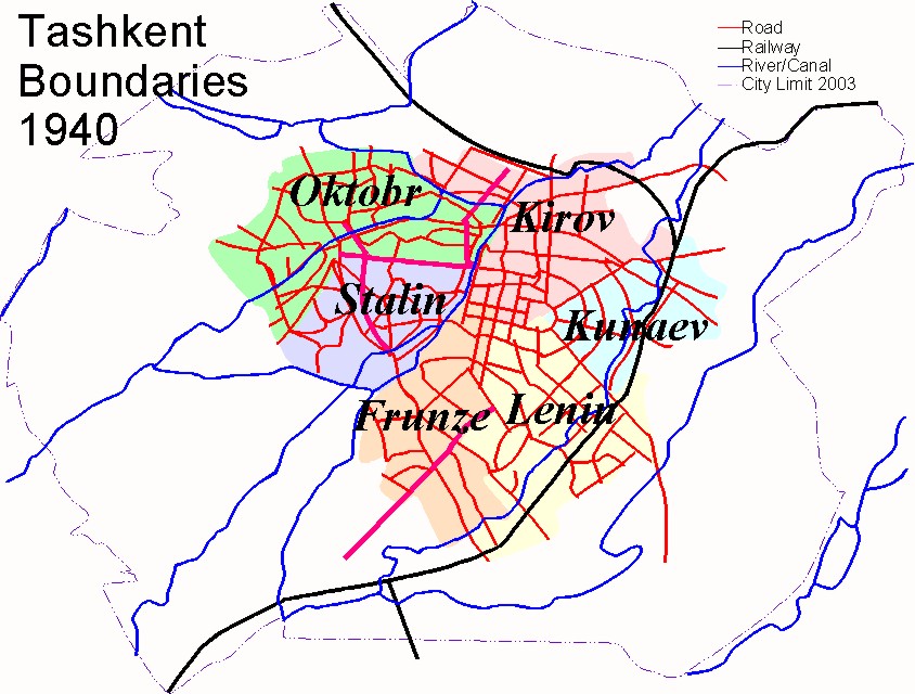
| current | 16:23, 7 November 2008 | | 844 × 640 (335 KB) | commons>Cosnahang~commonswiki | |Description=Map Of Tashkent in 1940 showing the boundaries of the city, main roads, railways and waterways (3 of 7) |Source=Self generated by author based on the Geographical Atlas of Tashkent (Ташкент Географический Атл |
File usage
There are no pages that use this file.