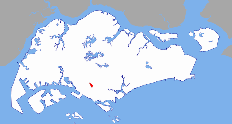
File:Tanglin Halt planning subzone locator map.png
Jump to navigation
Jump to search
No higher resolution available.
Tanglin_Halt_planning_subzone_locator_map.png (800 × 428 pixels, file size: 124 KB, MIME type: image/png)
File history
Click on a date/time to view the file as it appeared at that time.
| Date/Time | Thumbnail | Dimensions | User | Comment | |
|---|---|---|---|---|---|
| current | 02:17, 28 August 2005 | | 800 × 428 (124 KB) | commons>Vsion | Created by Vsion {{cc-by-sa-2.5}} Category:Singapore places locator maps |
File usage
There are no pages that use this file.