File:Taman map.png
Jump to navigation
Jump to search
No higher resolution available.
Taman_map.png (452 × 330 pixels, file size: 33 KB, MIME type: image/png)
File history
Click on a date/time to view the file as it appeared at that time.
| Date/Time | Thumbnail | Dimensions | User | Comment | |
|---|---|---|---|---|---|
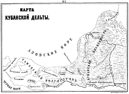
| current | 06:44, 19 April 2007 | | 452 × 330 (33 KB) | commons>Joonasl | {{Information |Description=A map of the Taman peninsula. |Source=From Gerz, K. ''Arkheologicheskaya topografiya Tamanskogo poluostrova.'' Moscow: The Moscow Archaeological Society, 1870. |Date= |Author= |Permission= |other_versions= }} {{PD-Russia}} [[C |
File usage
There are no pages that use this file.