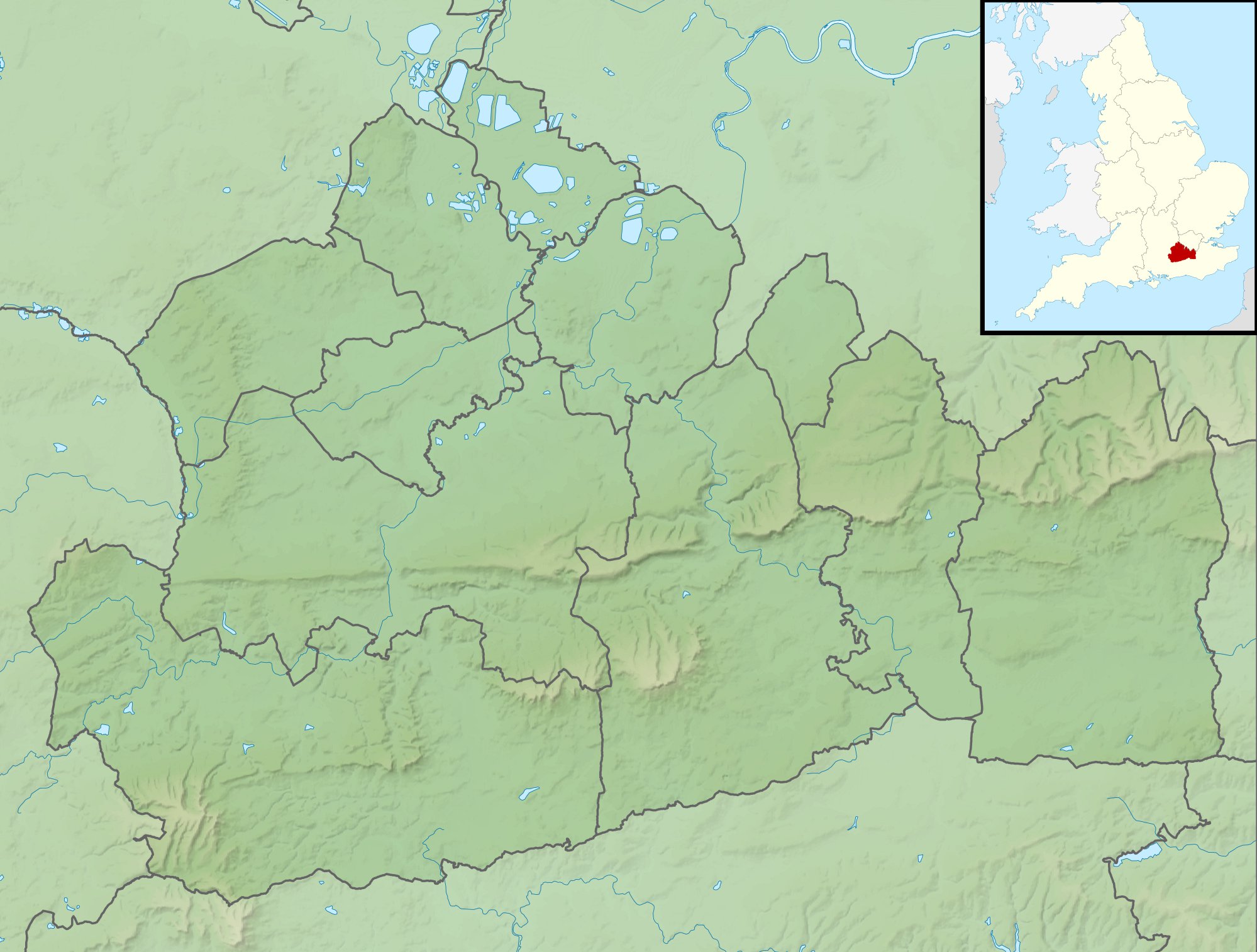
File:Surrey UK relief location map.jpg
Jump to navigation
Jump to search
Size of this preview: 792 × 600 pixels. Other resolutions: 317 × 240 pixels | 634 × 480 pixels | 1,014 × 768 pixels | 1,280 × 969 pixels | 1,999 × 1,514 pixels.
Original file (1,999 × 1,514 pixels, file size: 320 KB, MIME type: image/jpeg)
File history
Click on a date/time to view the file as it appeared at that time.
| Date/Time | Thumbnail | Dimensions | User | Comment | |
|---|---|---|---|---|---|
| current | 01:57, 29 November 2011 | | 1,999 × 1,514 (320 KB) | commons>Nilfanion | {{Information |Description=Relief map of Surrey, UK. Equirectangular map projection on WGS 84 datum, with N/S stretched 160% Geographic limits: *West: 0.87W *East: 0.08E *North: 51.50N *South: 51.05N |Source=[[w:Ordnance Survey|Ordnance Sur |
File usage
There are no pages that use this file.