File:Sugarland-mtn-trail-rough-crk-valley1.jpg
Jump to navigation
Jump to search
Size of this preview: 800 × 600 pixels. Other resolutions: 320 × 240 pixels | 640 × 480 pixels | 1,024 × 768 pixels | 1,280 × 960 pixels | 2,048 × 1,536 pixels.
Original file (2,048 × 1,536 pixels, file size: 915 KB, MIME type: image/jpeg)
File history
Click on a date/time to view the file as it appeared at that time.
| Date/Time | Thumbnail | Dimensions | User | Comment | |
|---|---|---|---|---|---|
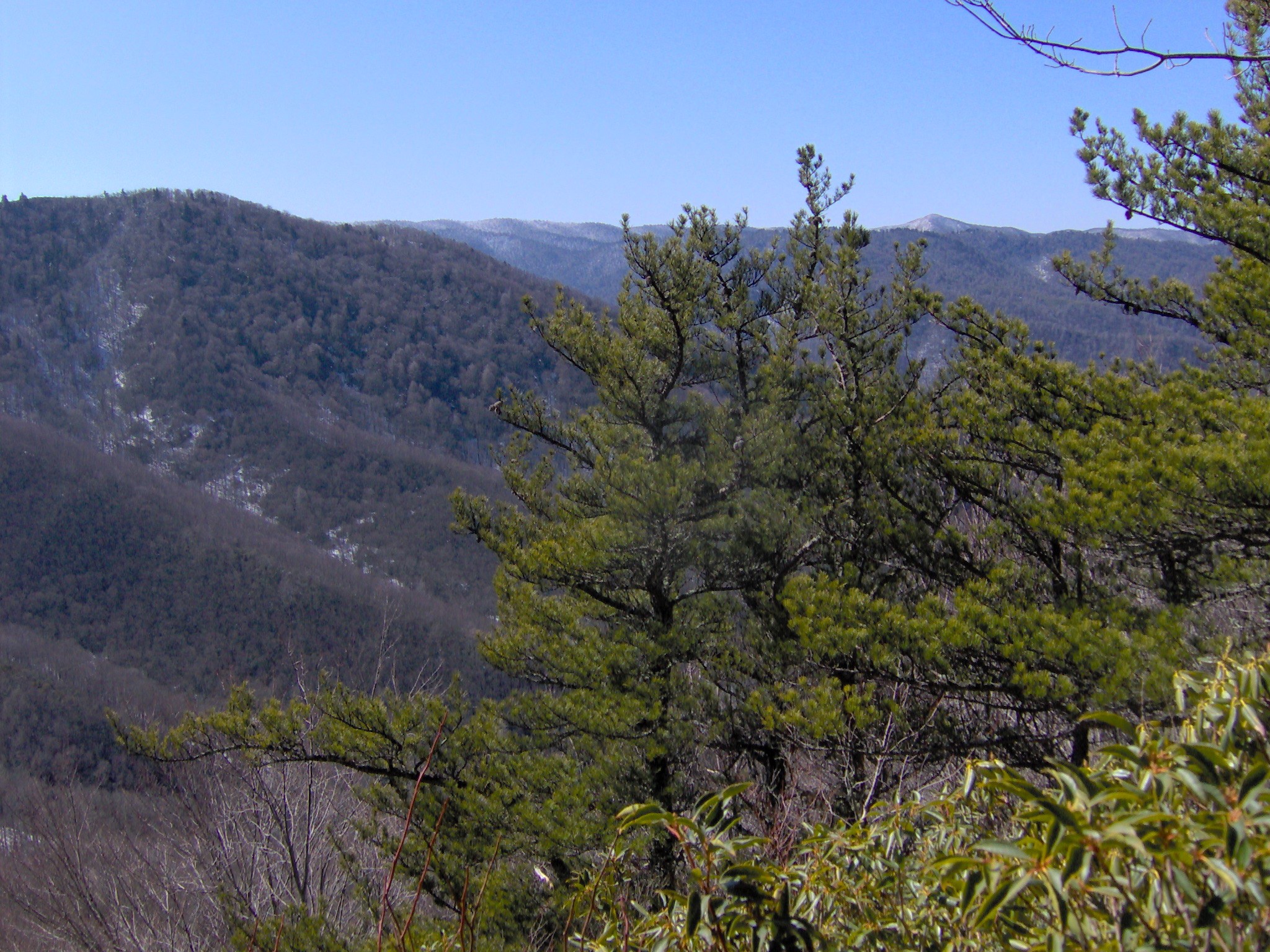
| current | 22:29, 4 March 2008 | | 2,048 × 1,536 (915 KB) | commons>BrineStans | {{Information |Description=Looking out over the Rough Creek Valley from a break in the foliage, appx. 8 miles from the trailhead at Fighting Creek Gap. Sweet Ridge is on the left, and Miry Ridge and main crest of the Smokies are in the distance. The sno |
File usage
There are no pages that use this file.