File:StaraZagora-districts-en.svg
Jump to navigation
Jump to search

Size of this PNG preview of this SVG file: 782 × 600 pixels. Other resolutions: 313 × 240 pixels | 626 × 480 pixels | 1,002 × 768 pixels | 1,280 × 981 pixels | 2,560 × 1,963 pixels | 3,000 × 2,300 pixels.
Original file (SVG file, nominally 3,000 × 2,300 pixels, file size: 65 KB)
File history
Click on a date/time to view the file as it appeared at that time.
| Date/Time | Thumbnail | Dimensions | User | Comment | |
|---|---|---|---|---|---|
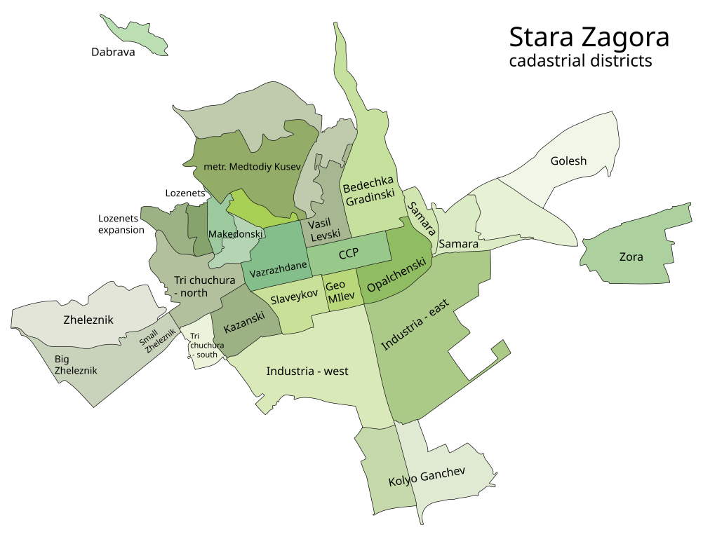
| current | 12:28, 25 December 2009 | | 3,000 × 2,300 (65 KB) | commons>Scroch | == {{int:filedesc}} == Districts of Stara Zagora as of [http://www.karta-sz.com/images/shema.gif cadastral map]. Category:Stara Zagora =={{int:license}}== {{self2|GFDL|cc-by-sa-3.0,2.5,2.0,1.0}} |
File usage
There are no pages that use this file.