File:Stanley county 1886.jpg
Jump to navigation
Jump to search
Size of this preview: 600 × 600 pixels. Other resolutions: 240 × 240 pixels | 480 × 480 pixels | 768 × 768 pixels | 1,200 × 1,200 pixels.
Original file (1,200 × 1,200 pixels, file size: 215 KB, MIME type: image/jpeg)
File history
Click on a date/time to view the file as it appeared at that time.
| Date/Time | Thumbnail | Dimensions | User | Comment | |
|---|---|---|---|---|---|
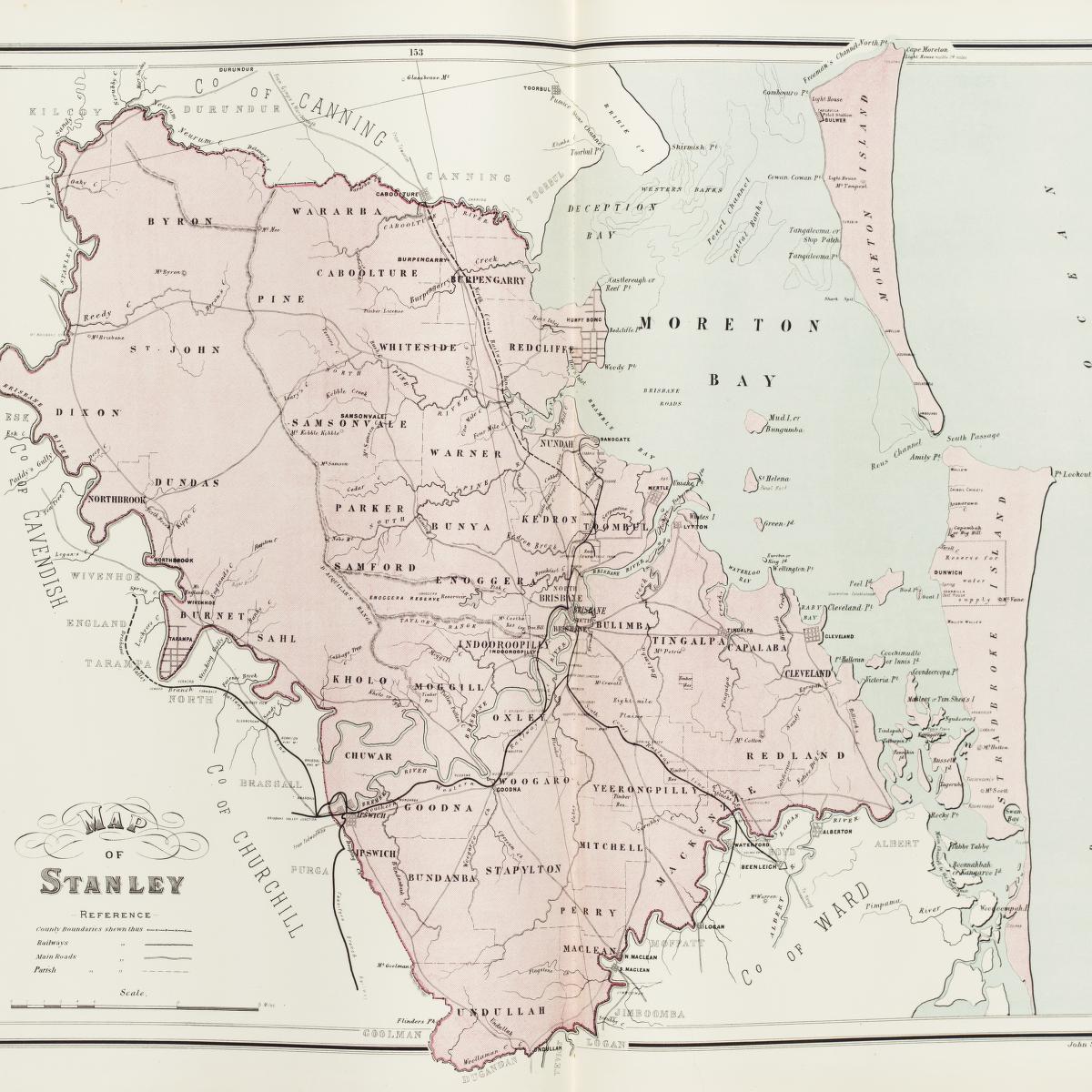
| current | 14:13, 11 March 2007 | | 1,200 × 1,200 (215 KB) | commons>Roke~commonswiki | Stanley County in 1886, old map from National Library [http://www.nla.gov.au/apps/cdview?pi=nla.map-raa30-s226-sd] Category:Cadastral maps of Queensland {{PD-Australia}} |
File usage
There are no pages that use this file.