File:St. David's Church at Llywel - geograph.org.uk - 1126233.jpg
Jump to navigation
Jump to search
No higher resolution available.
St._David's_Church_at_Llywel_-_geograph.org.uk_-_1126233.jpg (640 × 480 pixels, file size: 56 KB, MIME type: image/jpeg)
File history
Click on a date/time to view the file as it appeared at that time.
| Date/Time | Thumbnail | Dimensions | User | Comment | |
|---|---|---|---|---|---|
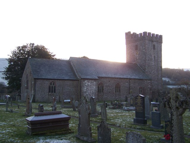
| current | 01:35, 25 February 2011 | | 640 × 480 (56 KB) | commons>GeographBot | == {{int:filedesc}} == {{Information |description={{en|1=St. David's Church at Llywel St. David's Church stands in the extreme south-east of this grid-square at the foot of the military road leading onto the Epynt Ranges and can be seen from the A40. The |
File usage
There are no pages that use this file.