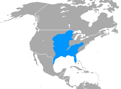
File:Spilogale putorius range map.png
Jump to navigation
Jump to search
No higher resolution available.
Spilogale_putorius_range_map.png (388 × 287 pixels, file size: 9 KB, MIME type: image/png)
File history
Click on a date/time to view the file as it appeared at that time.
| Date/Time | Thumbnail | Dimensions | User | Comment | |
|---|---|---|---|---|---|
| current | 22:15, 1 July 2011 | | 388 × 287 (9 KB) | commons>Craig Pemberton | Update to use the same base map as the other Spilogales, first step in making a composite for the genus. |
File usage
There are no pages that use this file.