File:Southeastern TOC route map 2010.svg
Jump to navigation
Jump to search

Size of this PNG preview of this SVG file: 800 × 560 pixels. Other resolutions: 320 × 224 pixels | 640 × 448 pixels | 1,024 × 717 pixels | 1,280 × 896 pixels | 2,560 × 1,792 pixels | 1,000 × 700 pixels.
Original file (SVG file, nominally 1,000 × 700 pixels, file size: 411 KB)
File history
Click on a date/time to view the file as it appeared at that time.
| Date/Time | Thumbnail | Dimensions | User | Comment | |
|---|---|---|---|---|---|
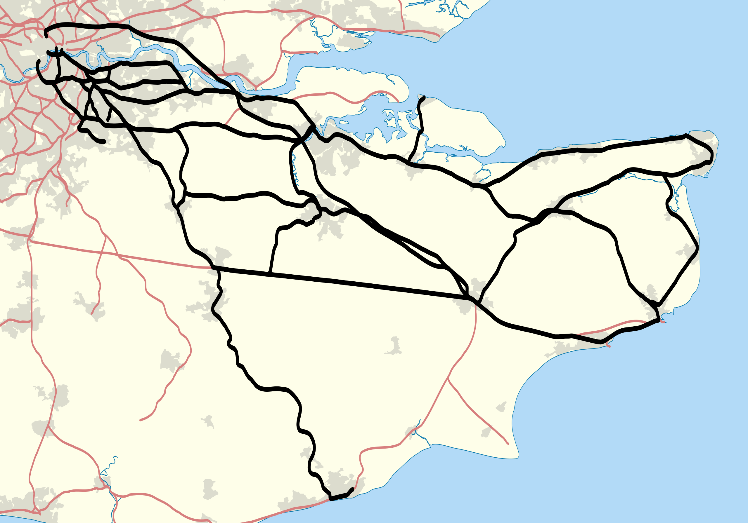
| current | 22:21, 30 January 2011 | | 1,000 × 700 (411 KB) | commons>Nilfanion | {{Information |Description=Map showing railway routes operated by Southeastern (train operating company) in 2010. The background map shows the coast of England and major urban areas. Equirectangular map project |
File usage
There are no pages that use this file.