File:South Africa Provinces showing WC.png
Jump to navigation
Jump to search

Size of this preview: 800 × 578 pixels. Other resolutions: 320 × 231 pixels | 640 × 462 pixels | 1,024 × 740 pixels | 1,146 × 828 pixels.
Original file (1,146 × 828 pixels, file size: 20 KB, MIME type: image/png)
File history
Click on a date/time to view the file as it appeared at that time.
| Date/Time | Thumbnail | Dimensions | User | Comment | |
|---|---|---|---|---|---|
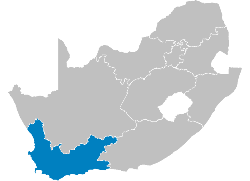
| current | 14:21, 29 April 2006 | | 1,146 × 828 (20 KB) | commons>Waynedam | == Summary == {{Information| |Description=Map of South Africa showing the Western Cape province after the 12th amendment of the constitution in December 2005. |Source=Created by me from Shapefile data from the [http://www.demarcation.org.za/ Municipal De |
File usage
There are no pages that use this file.