File:SouthTyrolMap020307.jpg
Jump to navigation
Jump to search

Size of this preview: 800 × 497 pixels. Other resolutions: 320 × 199 pixels | 640 × 398 pixels | 1,024 × 636 pixels | 1,280 × 795 pixels | 2,560 × 1,591 pixels | 3,500 × 2,175 pixels.
Original file (3,500 × 2,175 pixels, file size: 707 KB, MIME type: image/jpeg)
Summary
| Description |
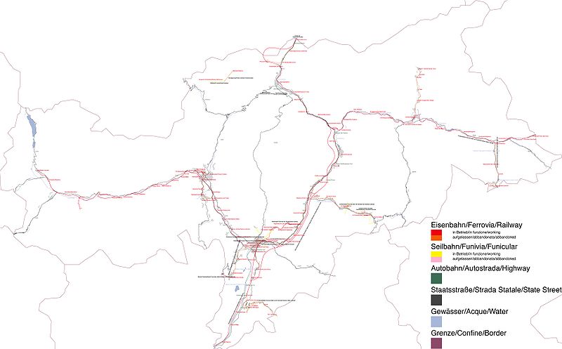
English: JPG version South Tirol street and railway network
Deutsch: JPEG-Version Südtiroler Eisenbahn- und Straßennetz
Italiano: Versione JPEG Rete stradale e ferroviaria dell'Alto Adige
Esperanto: JPEG-versio de mapo de la voja kaj fervoja retoj de Suda Tirolo |
| Date | |
| Source | Own work |
| Author | Luigino |
| Other versions | File:SouthTyrolMap020307.svg (SVG) |
Licensing
| I, the copyright holder of this work, release this work into the public domain. This applies worldwide. In some countries this may not be legally possible; if so: I grant anyone the right to use this work for any purpose, without any conditions, unless such conditions are required by law. |
File history
Click on a date/time to view the file as it appeared at that time.
| Date/Time | Thumbnail | Dimensions | User | Comment | |
|---|---|---|---|---|---|
| current | 16:35, 10 March 2007 | | 3,500 × 2,175 (707 KB) | commons>Luigino | {{Information |Description=JPG version South Tirol street and railway network/JPG Version Suedtiroler Eisenbahn- und Straszennetzwerk/Versione JPG Rete Stradale e ferroviaria dell Alto Adige |Source=own work |Date=10.03.2007 |Author=~~~ |Permission= |othe |
File usage
There are no pages that use this file.