File:SouthIsland rrMap v02.svg
Jump to navigation
Jump to search

Size of this PNG preview of this SVG file: 446 × 599 pixels. Other resolutions: 178 × 240 pixels | 357 × 480 pixels | 571 × 768 pixels | 762 × 1,024 pixels | 1,524 × 2,048 pixels | 744 × 1,000 pixels.
Original file (SVG file, nominally 744 × 1,000 pixels, file size: 70 KB)
File history
Click on a date/time to view the file as it appeared at that time.
| Date/Time | Thumbnail | Dimensions | User | Comment | |
|---|---|---|---|---|---|
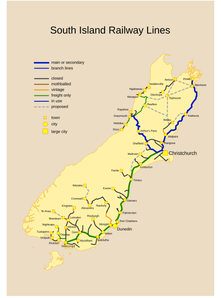
| current | 06:46, 27 November 2007 | | 744 × 1,000 (70 KB) | commons>Ingolfson | == Summary == {{Information |Description={{en|Past, Current and Proposed Railways of NZ South Island. <br />Viewers might need an SVG capable browser to see this map in full size.}} |Source=Transfered from [http://en.wikipedia.org en.wikipedia]<br/> (Orig |
File usage
There are no pages that use this file.