File:Solapur district tehsils.svg
Jump to navigation
Jump to search

Size of this PNG preview of this SVG file: 728 × 600 pixels. Other resolutions: 292 × 240 pixels | 583 × 480 pixels | 933 × 768 pixels | 1,244 × 1,024 pixels | 2,487 × 2,048 pixels | 850 × 700 pixels.
Original file (SVG file, nominally 850 × 700 pixels, file size: 124 KB)
File history
Click on a date/time to view the file as it appeared at that time.
| Date/Time | Thumbnail | Dimensions | User | Comment | |
|---|---|---|---|---|---|
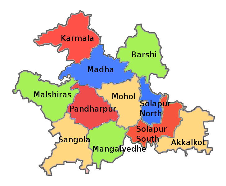
| current | 20:41, 17 August 2011 | | 850 × 700 (124 KB) | commons>Abhijitsathe | {{Information |Description={{en|1=Tehsil map of Solapur district in the Indian state of Maharashtra. Created using this official map on Solapur district website: http://solapur.gov.in/map/smap6.html}} |date=2011-08-17 |Source=*[[:File:Solapur_dist |
File usage
There are no pages that use this file.