File:Snyder, New York map.png
Jump to navigation
Jump to search

Size of this preview: 800 × 563 pixels. Other resolutions: 320 × 225 pixels | 640 × 450 pixels | 1,024 × 720 pixels | 1,260 × 886 pixels.
Original file (1,260 × 886 pixels, file size: 516 KB, MIME type: image/png)
File history
Click on a date/time to view the file as it appeared at that time.
| Date/Time | Thumbnail | Dimensions | User | Comment | |
|---|---|---|---|---|---|
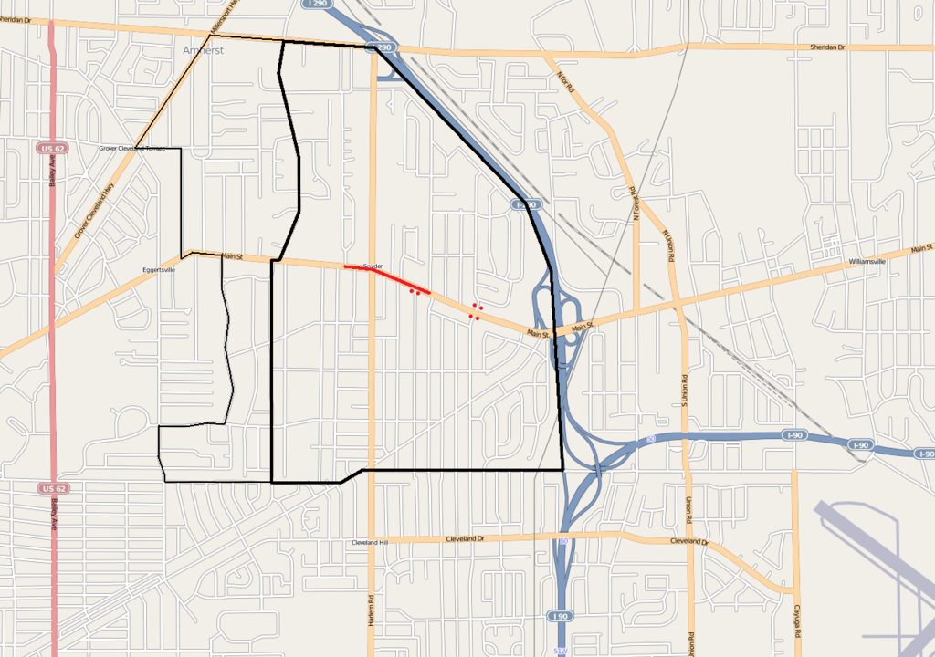
| current | 04:12, 16 April 2009 | | 1,260 × 886 (516 KB) | commons>TonyTheTiger | {{Information |Description={{en|1=w:Snyder, New York map (traditional postal service area boundary in thick black, census-based boundary in thin black, business district in red, and National Register of Historic Places entranceways as red dots)}} |
File usage
There are no pages that use this file.