File:Silver City Highway location map.svg
Jump to navigation
Jump to search

Size of this PNG preview of this SVG file: 252 × 598 pixels. Other resolutions: 101 × 240 pixels | 202 × 480 pixels | 324 × 768 pixels | 431 × 1,024 pixels | 863 × 2,048 pixels | 417 × 989 pixels.
Original file (SVG file, nominally 417 × 989 pixels, file size: 203 KB)
File history
Click on a date/time to view the file as it appeared at that time.
| Date/Time | Thumbnail | Dimensions | User | Comment | |
|---|---|---|---|---|---|
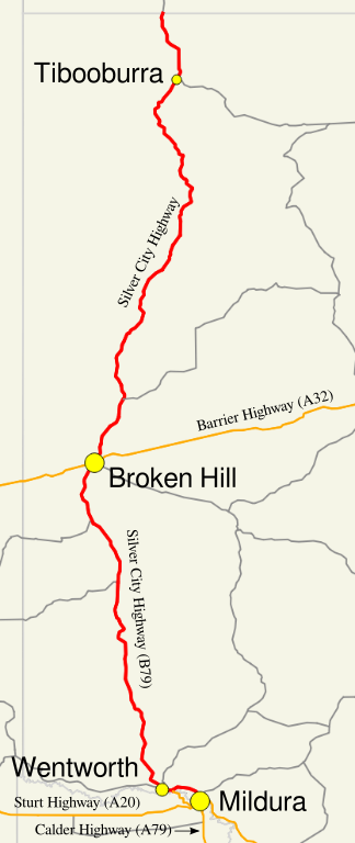
| current | 03:43, 26 October 2013 | | 417 × 989 (203 KB) | commons>Nbound | {{Information |description={{en|1=Map of the Silver City Highway}} |date=2013-10-26 |source= Own work, Created in Quantum GIS and Inkscape - Sources: Geoscience Australia Data, then overlaid with town and highway/route ... |
File usage
There are no pages that use this file.