File:Shropshire outline map with UK (2009).png
Jump to navigation
Jump to search
No higher resolution available.
Shropshire_outline_map_with_UK_(2009).png (504 × 549 pixels, file size: 141 KB, MIME type: image/png)
.png)
Summary
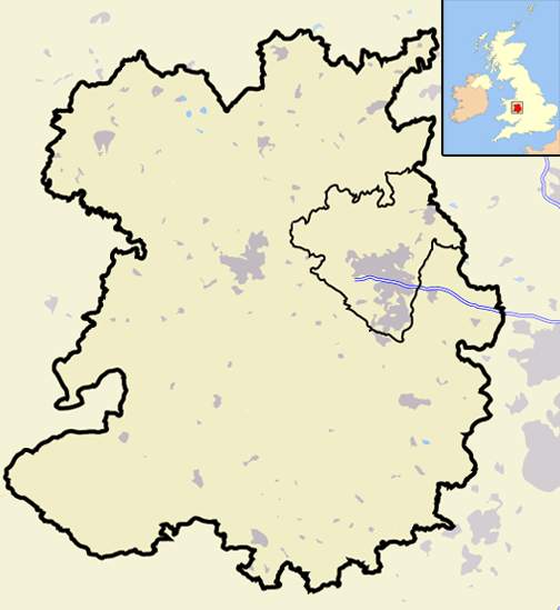
| Description | A map of the county of Shropshire, England, United Kingdom, showing the post-2009 district boundaries. |
| Date | |
| Source | Own work |
| Author | Jhamez84 |
Licensing
| I, the copyright holder of this work, release this work into the public domain. This applies worldwide. In some countries this may not be legally possible; if so: I grant anyone the right to use this work for any purpose, without any conditions, unless such conditions are required by law. |
File history
Click on a date/time to view the file as it appeared at that time.
| Date/Time | Thumbnail | Dimensions | User | Comment | |
|---|---|---|---|---|---|
| current | 20:06, 19 December 2008 | | 504 × 549 (141 KB) | commons>Jza84 | == Summary == {{Information |Description=A map of the county of Shropshire, England, United Kingdom, showing the post-2009 district boundaries. |Source=self-made |Date=December 2008 |Author= Jhamez84 |Permission=See below |other_versions |
File usage
There are no pages that use this file.
.png)